
Chlum-Korouhvice: Trails, Views and History
Accommodation in Chlum-Korouhvice
Chlum-Korouhvice has an extensive network of hiking and cycling trails, including a trail leading to the Horní les lookout tower.
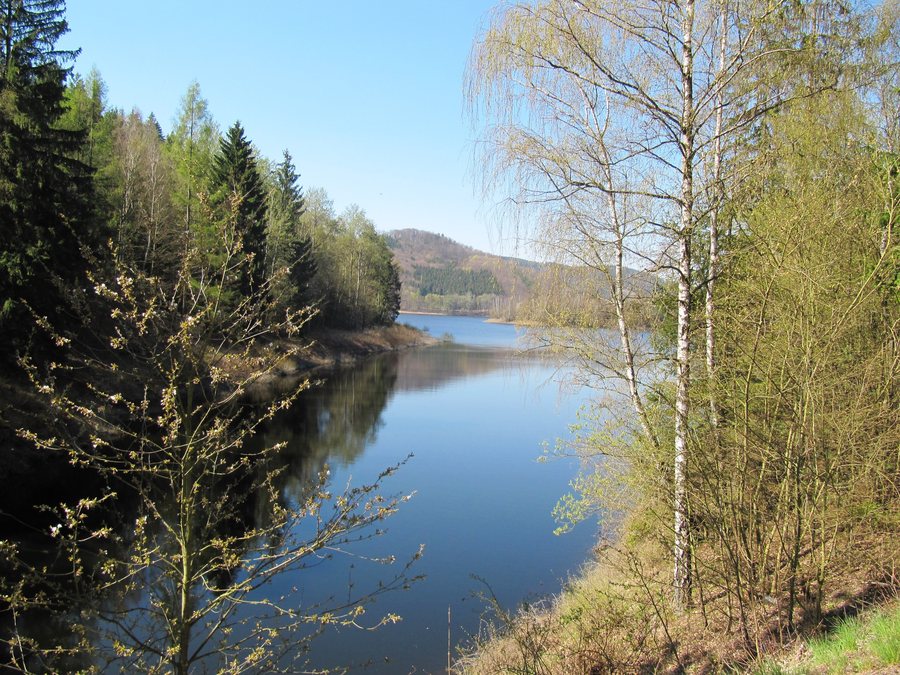 File:Chlum (Chlum-Korouhvice), Vírská přehrada.jpg
Photo: Palickap via Wikimedia Commons, CC BY-SA 4.0
File:Chlum (Chlum-Korouhvice), Vírská přehrada.jpg
Photo: Palickap via Wikimedia Commons, CC BY-SA 4.0
When choosing accommodation in Chlum-Korouhvice, you can compare travel dates, room categories and cancellation policies for each offer. To choose a location, the marked trails, the seasonal accessibility of the lookout tower and the historical traces of Chlum and Korouhvice can be considered as separate aspects.
Nature
The Javorův kopec nature monument protects a mosaic of wet cabbage thistle meadows and spring areas, with transitions to mesophilous and Nardus grasslands. Populations of the broad-leaved marsh orchid (Dactylorhiza majalis) and the lesser butterfly-orchid (Platanthera bifolia) occur on Javorův kopec.
There is a protected linden tree in Chlum. Korouhvice has a bay of the Vír Reservoir.
When the water level of the Vír Reservoir is low, the foundations of the original houses, a pond at the former mill and a path with a small bridge are visible in Korouhvice.
Trails
The blue-marked hiking trail from Vír climbs uphill through Chlum and continues to Javorův kopec. The marked blue cycling route 5218 runs through Chlum to a forest junction below Javorův kopec.
The regional hike “Za nejvyšším převýšením Vysočiny” is 17 kilometres long and takes approximately 5.5 hours. An uphill hiking connection, a cycling route to a forest junction and the longer tour can be considered separately; the information helps you compare different types of routes and time frames side by side. This places short connections with a clear direction alongside a longer regional hike, while the cycling route has its own course and destination. The trail information thus represents several different forms of travel without combining them into a single route.
Views
The Horní les lookout tower is located in the surrounding area on the 774-metre-high mountain of the same name; its viewing platform is 38 metres above the ground. The Horní les lookout tower is open to the public every year from 15 April to 15 October.
For the temporal context of the viewpoint, the elevation context of the site is also provided alongside the annual access period: the mountain reaches 774 metres, while the platform is 38 metres above the ground. Both details describe different aspects of the same lookout tower and should therefore not be read as interchangeable elevation figures.
Local History
Chlum is mentioned as early as 1349. In 1596, a rychta is mentioned in Chlum, a historical magistrate’s office or administrative district.
The fields V Kostele and U Kostela bear traditional names; a local legend connects them with a shared church history of Chlum and Vítochov.
After the Patent of Toleration was proclaimed, the majority of the inhabitants of Chlum and Korouhvice turned to the Protestant faith.
A historic fire engine is on display on the village green in Chlum.
The municipality of Korouhvice disappeared in 1958, with the exception of three houses, during the construction of the Vír I waterworks.
More destinations: Nyklovice, Zubří, Nové Mesto Na Morave, Podolí, Dvořiště, Křídla, Prosetín, Vatín
For the higher-level travel overview: Žďár Nad Sázavou District.

,_V%C3%ADrsk%C3%A1_p%C5%99ehrada.jpg)