
Bocanovice: Railway Station, Cycle Paths and Routes to Kozubová
Accommodation in Bocanovice
Bocanovice has a railway station, marked routes to Kozubová and several cycling options. Thanks to its railway station, Bocanovice is a starting point for tourists, cross-country skiers and cycling tourists. The cycling routes differ in their course, length and level of difficulty.
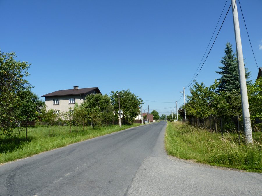
Railway Station and Routes to Kozubová
Bocanovice railway station is part of the integrated transport system. For arriving by train, it is the transport hub in the village. Marked hiking trails lead from Bocanovice to Kozubová. Anyone hiking from Bocanovice to Kozubová is following a marked connection, while the railway station provides the train connection in the village.
Cycle Paths: Through Bocanovice or Starting Here
The Czech-Polish cycling circuit No. 56 through the Těšínské Slezsko Euroregion runs through Bocanovice. In addition, two regional cycling circuits begin in Bocanovice. When choosing a route, it is therefore necessary to distinguish whether Bocanovice lies along the route or forms the starting point of a regional circuit. Circuit No. 56 runs through the village; the two regional circuits start here.
Radegast Cyklotrack: Length and Ascent
The Radegast Cyklotrack is part of the circuit and a 54 km-long cycling route of medium difficulty. For a more gradual ascent, following the indicated direction of travel is recommended. Anyone planning this route can take the 54 km length, medium difficulty and recommended direction of travel into account together. This means that the ascent profile remains a separate planning factor alongside the route length.
Around the Jablunkov Pass
The “Around the Jablunkov Pass” route runs through Bocanovice as a circuit via Jablunkov, Mosty u Jablunkova, Skalka, Šance, Hrčava, Gírová, Studeničné and Pod Zelenou. The route is approximately 52.5 km long. Jablunkov and Mosty u Jablunkova are two specific reference points for planning within the circuit. The approximate length refers to the circuit via these places and therefore forms part of planning the entire tour.
Mountain Biking and Elevation Differences
For mountain bikers, the “Around the Jablunkov Pass” route is one of the challenging routes. It leads along forest roads and trails with greater elevation differences. On this pass route, the route layout and elevation differences must therefore be taken into account in addition to the length.
The Cycling Routes in Direct Comparison
The Radegast Cyklotrack is 54 km long and designated as a route of medium difficulty. The pass route is approximately 52.5 km long and is considered one of the challenging routes for mountain bikers. Both lengths are close to one another, but the designated difficulty differs. In addition, forest roads and trails with greater elevation differences run along the pass route, while the recommended direction of travel for the Radegast Cyklotrack provides a more gradual ascent.
Other destinations in the region include Vyšní Lhoty, Mosty U Jablunkova, Staříč, Staré Město, Janovice, Frydek-Mistek, Baška and Milíkov U Jablunkova.
To the travel overview for the Frýdek-Místek District: Frýdek-Místek District.

.JPG)