
Os de Civís: Trails, Local History and Mountain Landscapes
Accommodation in Os de Civís
Os de Civís in the Parc Natural de l'Alt Pirineu
The entire area of Os de Civís has been part of the Parc Natural de l'Alt Pirineu since 2003.
The paved road to Os de Civís is accessible exclusively from Andorran territory. This geographical context must therefore be taken into account from the outset when travelling to Os de Civís.
Getting There and Orientation
Village Centre and Historical Traces
The self-guided tour through the oldest part of Os de Civís is classified as very easy. The tour through Os de Civís also points out the former medieval moat.
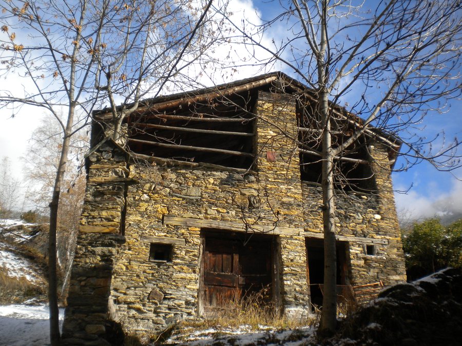
Os de Civís was once an enclosed village built on a rocky promontory. This layout helped preserve the buildings.
Sant Pere d'Os de Civís is a Romanesque church that was later altered. A Gothic fresco from Sant Pere d'Os de Civís can be seen in the Museu Diocesà de la Seu d'Urgell. The local history of Os de Civís therefore includes both a building in the village and a work of art that can now be viewed in a museum.
Carlina, botanically known as Carlina acaulis or Carlina acanthifolia, is placed on the doorsteps of houses as protection against witches and evil spirits.
Further places for planning your trip: Les, Bossòst, Canalda, Baqueira-Beret, Rubió, Iran, Vall De Cardós and Espot.
Bordes de Conflent and Visitor Centre
The former village schools of Os de Civís were converted into a visitor reception centre. The visitor reception centre in the former village schools of Os de Civís includes an exhibition about the border areas.
In the immediate vicinity of Os de Civís, the Bordes de Conflent are located at the foot of the 2,789 m-high Pic de Salòria, the highest point in Alt Urgell. The Bordes de Conflent belong to the village centre of Os de Civís and form one of the few groups of bordes with a chapel. A forest track leads to the Bordes de Conflent.
Marked Trails Around Os de Civís
As part of the Parc Natural de l'Alt Pirineu, marked trails for hiking and mountain biking have been established in Os de Civís. The marked trails therefore include two explicitly named activities in the Os de Civís area.
The route to Collada de Conflent is a circular trail of less than 10 km in the vicinity of Os de Civís. The route to Collada de Conflent runs entirely within the Parc Natural de l'Alt Pirineu and partly follows a trail signposted by the park.
As a circular trail, the route to Collada de Conflent covers the entire stated route of less than 10 km.
The route to Collada de Conflent has a total effective walking time of 3 hours without breaks. For the time estimate, only the walking time itself counts; breaks are not included in this figure.
For the overarching travel overview: Lleida.

