
Skalité: Cycling Route, Sacred Buildings and Railway History
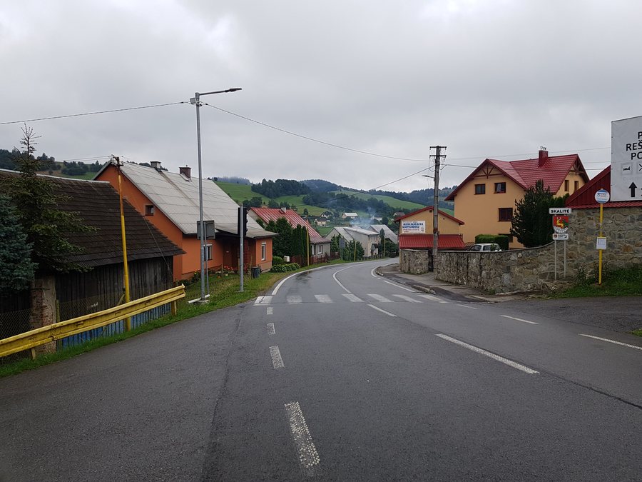
The “8473 – Nad Skalitým” cycling route runs above the municipality of Skalité along field and forest paths and offers beautiful views.
Cycling Routes and Course
The “8473 – Nad Skalitým” route is 6.3 km long, has elevation figures of 178 m/341 m and is classified as REKREA in terms of difficulty. Its surface consists of asphalt, forest paths and field paths. The designated difficulty level, elevation figures and changes in surface provide different criteria for comparing the route.
The start is at the Polish border in the Mýto area, at a junction with a blue cycle-tourist route. This information supplements the described course with a clear starting point. For your own planning, the starting area, route length and path conditions can be considered separately.
The 60-km-long main cycling trail through Kysuce runs via Čadca, Skalité, Oščadnica, Krásno nad Kysucou, Stará Bystrica and Vychylovka. The different lengths help you compare a shorter route and a longer connection as two different scales of route planning.
The two cycling options mentioned can be distinguished by their scale. The 6.3-km route is described in greater detail with elevation figures, difficulty level and surface; the 60-km-long main cycling trail is identified by its sequence of places. For route planning, you can therefore read the detailed route features and the longer connection between the places separately, side by side. This makes it clear whether you are looking at a single route or a connection through several places.
Sacred Sites and Architectural History
The Church of Kostol sv. Jána Krstiteľa is a masonry church in Skalité that has survived to this day. Its construction began around 1787. An old document found during the restoration of the tower records that Kostol sv. Jána Krstiteľa had already been completed in 1793. The chronological sequence of the start of construction and the documented completion also makes the church identifiable as a historically dated site.
The Kalvária Sedembolestnej Panny Márie in Skalité was completed in August 1941. The Kaplnka Povýšenia sv. kríža is located in Skalité-Kudlov. The cross standing in front of the Kaplnka Povýšenia sv. kríža dates from 1835. The place name, structure and year each constitute separate details that you can distinguish when viewing the sacred sites.
Accommodation in Skalité
When choosing accommodation in Skalité, you can initially consider the travel dates, room category and cancellation conditions separately on the offer pages. The three details describe different aspects of the offer: the period, the selected room category and the conditions for a change or cancellation. The decision thus remains separate from the described cycling, cultural and railway topics.
Transport History
The entire railway line from Čadca to Zwardoń is part of the history of transport: it was put into operation on 3 November 1884. Alongside the years in which the sacred buildings were constructed, this date provides a separate historical reference point for Skalité.
For the overarching travel overview: Čadca.
Check prices, availability and amenities for your travel dates directly on Booking.com.
View accommodation and offersAdvertisement · Affiliate link to Booking.com
