
Vysoká Jedle: Hotels and Accommodation
Accommodation in Vysoká Jedle
A 9.5-kilometre hiking route, “From the birch groves over rocks and waterfalls to Hasištejn”, begins in the village square of Vysoká Jedle. After a few metres, it leaves the quiet road for a forest path and leads through a dense birch grove dotted with numerous boulders.
Nature and Hiking
The area around Vysoká Jedle includes meadows with rare and protected plants. From Vysoká Jedle, at an altitude of 650 metres, there are views as far as the Nechranice Reservoir. After leaving Vysoká Jedle, the hike crosses the Prunéřovský potok stream and follows the Kýšovický vodopád waterfall. The hike can be reached by bus via the “Místo, Vysoká Jedle” bus stop.
History and Crafts
Vysoká Jedle was first mentioned in writing in 1367, when it was named as part of the Hasištejn estate. Historical names for Vysoká Jedle included Hochtann, Hohenthannen and Hohenthan.
The road from Ahníkov via Místo to Celná, opened in 1898, connected Vysoká Jedle with the outside world. Bobbin lace-making spread in Vysoká Jedle during the 19th century. The inhabitants made various types of braid, grew flax, processed it at home and sold it.
Culture
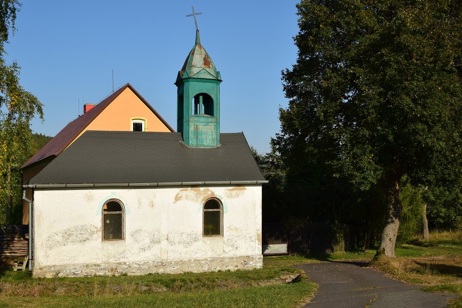
Regular services are once again held in the restored Chapel of the Virgin Mary in Vysoká Jedle.
Other destinations: Rajov, Kryštofovy Hamry, Mezihorí, Okounov, Hora Svatého Šebestiána, Výsluní, Jindrichova Ves, Kovarska
To the higher-level travel overview: Chomutov District.

