
Šléglov: Hotels and Accommodation
Accommodation in Šléglov
Šléglov lies in a small valley carved by the Staříč stream into the upland foothills of the Rychlebské hory; the Staříč rises there. At 798 metres, Kutný vrch is the highest point in the cadastral territory of Šléglov and is associated with a documented mining history. Šléglov’s mining history is associated with the crushing and grinding of gold-bearing ores.
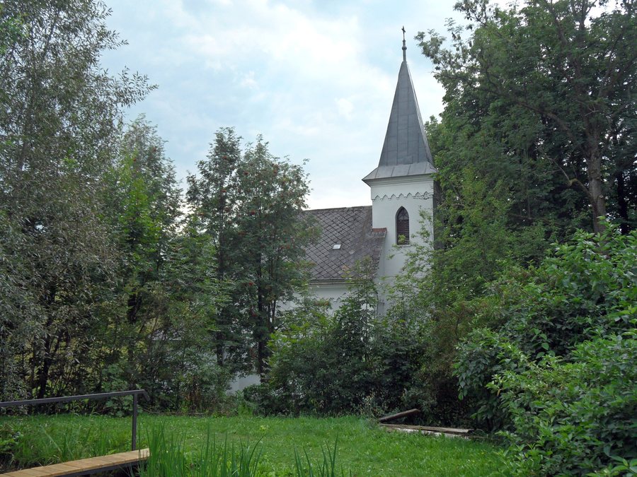
Landscape
The landscape highlights of Šléglov include vistas and viewpoints. The Řeznická Chapel is located above Šléglov near Staré Město in the Šumperk District. A blue-marked hiking trail between Branná and Staré Město pod Sněžníkem passes by it. The chapel offers views of the Králický Sněžník and Hrubý Jeseník mountain ranges.
The geological site is a wall quarry that was operated to produce aggregate for bunkers. The quarry contains fine-grained, massive, greenish dark-grey amphibolite with garnet visible in places.
Nature
Šléglov is associated with the Králický Sněžník Natura 2000 Special Protection Area for birds as a local environmental feature. In the wider regional surroundings of Šléglov, this bird protection area protects the corncrake (Crex crex) and its habitat in extensively managed meadows.
Culture and History
The Calvary group below Dvorský vrch is a sandstone column beside a no-longer-used path. It consists of a crucifix and figures of the Virgin Mary and Saint John. The Calvary group also contains a relief of Mary Magdalene with a vessel for fragrant ointment.
Šléglov has been documented in historical records since 1325. In the 16th century, Šléglov appears again in records concerning settlements administered by Kolštejn Castle in Branná. After the turmoil of the Hussite Wars and the Bohemian–Hungarian Wars, Šléglov was probably abandoned; documents described the place as deserted.
Things to Do
Cycling Route 9 in the Staré Město area is approximately 28 kilometres long, runs along roads and paved asphalt paths, and passes through Šléglov. After 2.3 kilometres, a cycling tour reaches Vikantice, where it connects to Cycling Route 53.
More local pages: Zlaty Potok, Bušín, Bohdíkov, Branná, Heroltice, Jedlí, Janoušov, Vikantice
To the higher-level travel overview: Šumperk District.

