
Schwarzenberg: Hotels and Accommodations
Accommodation in Schwarzenberg
The Eigenthal cross-country ski trail runs between Schwarzenberg and Eigenthal. The 6 km-long cross-country route has an elevation gain of 90 meters.
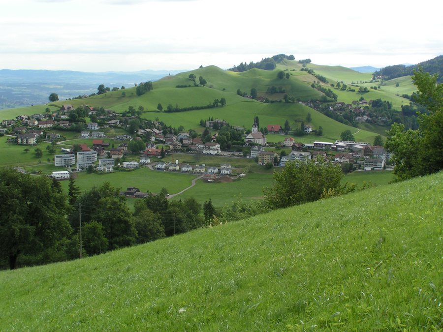 File:Schwarzenberg-lu.jpg
Photo: Guido Gallati, Schwarzenberg (Guido Gallati at de.wikipedia) via Wikimedia Commons, Public domain
File:Schwarzenberg-lu.jpg
Photo: Guido Gallati, Schwarzenberg (Guido Gallati at de.wikipedia) via Wikimedia Commons, Public domain
Anyone looking to book a hotel in Schwarzenberg should focus their accommodation search on this location.
Winter Sports
The cross-country skiing center in Eigenthal is located about 200 meters from the PostBus terminus.
Nature
More than 100 km of hiking trails run through Schwarzenberg and nearby Eigenthal. The Grosse Welt circular trail offers views toward Schwarzenberg, across the Swiss Plateau, and through the Rümligbach Gorge to Entlebuch. A recommended turnoff leads to the Arnenhubel viewpoint; the route also follows the upper reaches of the Chesselbach and passes through the Stutzwald forest.
The route Between the Swiss Plateau and the Pilatus Range reaches its highest point at Chrüzhubel, where there is a panorama and a picnic area. It then descends along the ridge of Blatterberg into the Renggloch Gorge. Through the Wolfschlucht, it climbs partly via steps and ends with the historic funicular railway to Kriens.
Getting There
PostBus connections to and from Schwarzenberg connect with SBB trains in Malters. Schwarzenberg and nearby Eigenthal are a 20- to 30-minute drive from Lucerne or the N2.
Culture
Construction of Schwarzenberg's own church began in 1833. The Bärgfründe yodeling club was officially founded in 1978 and performs traditional yodeling as well as natural yodeling.
Other destinations: Gisikon, Buchrain, Greppen, Ebikon, Root, Schachen, Adligenswil, Dierikon
For the higher-level travel overview: Lucerne Region.

