
Plessur: Hotels and Accommodation
Accommodation in Plessur
The Plessur region extends from urban to alpine areas and combines urban centres with tourist destinations. Anyone wishing to book a hotel in Plessur will find an overview of the destination here.
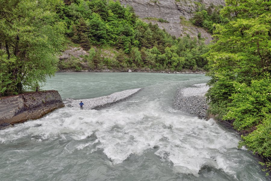 Mouth of the Plessur River into the Rhine near Chur
Photo: Cayambe via Wikimedia Commons, CC BY-SA 4.0
Mouth of the Plessur River into the Rhine near Chur
Photo: Cayambe via Wikimedia Commons, CC BY-SA 4.0
Geographical Location
The Plessur Region is an administrative region of the canton of Graubünden in Switzerland. It is named after the River Plessur, which runs through the region. The area covers approximately 285.30 square kilometres and ranges from 537 to 2,979 metres above sea level.
Chur is considered the region's economic, administrative and educational centre. Arosa and Churwalden are regarded as places offering leisure and sports opportunities.
Landscape
The Plessur area encompasses mountain ranges and valleys such as the Schanfigg, as well as forests, alpine meadows and fields. The closer surroundings of the Plessur region include Chüebergchöpf, Tschingla, Gürgaletsch and Malakoff.
The wider Plessur area is home to the rivers Plessur, Landwasser and Landquart, as well as mountain lakes such as Schwellisee and Älplisee.
Leisure and Culture
Hiking and mountain-oriented outdoor activities are established forms of recreation for visitors in the Plessur area. The Chur Animal and Leisure Park is also located in the area surrounding the Plessur region.
Paspels Castle and Rietberg Castle are located in the wider regional surroundings. The Falkenstein ruins are located near the Plessur region.
More local pages: Langwies, Sankt Peter, Tschiertschen, Molinis, Chur, Litzirüti, Malix, Churwalden, Parpan, Praden, Castiel and Peist.
For the higher-level travel overview: Graubünden.

