
Kremnické Bane: Mining History in the Kremnica Mountains
Accommodation in Kremnické Bane
Kremnické Bane is located in the Kremnica Mountains, in a valley at an altitude of 700 to 800 m above sea level. The history of the village is closely connected with mining and dates back to the Middle Ages. At the same time, churches, chapels, miners’ houses, trails, and recurring events shape the local character. The village landscape thus brings together nature, religious buildings, miners’ houses, historic trails, and recurring events.
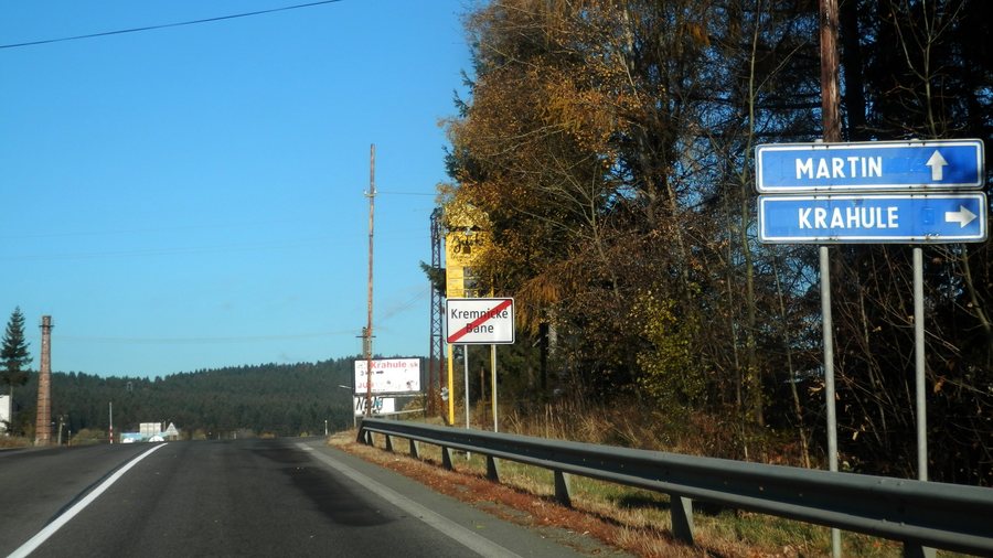 File:Kremnické Bane 21 Slovakia 1.jpg
Photo: Ing.Mgr.Jozef Kotulič via Wikimedia Commons, CC BY-SA 4.0
File:Kremnické Bane 21 Slovakia 1.jpg
Photo: Ing.Mgr.Jozef Kotulič via Wikimedia Commons, CC BY-SA 4.0
History and Culture
Kremnické Bane was established as an originally German mining settlement and was first mentioned in 1361. Part of the village was designated a rural heritage conservation zone by Decree No. 1/1994 of the Žiar nad Hronom District Office in order to preserve the cultural values of Kremnické Bane permanently. The history of the village also includes the Austro-Hungarian period, when Kremnické Bane became a centre of lace production. In the 1890s, an institutionally organised bobbin-lace school operated here.
Churches and Buildings
The church “Kostol sv. Jána Krstiteľa” is a three-nave Gothic building from the second half of the 13th century and was originally built as a Romanesque rotunda. Its stellar rib vault from the 15th century has largely been preserved to this day. Next to the Gothic church, above the village, there is a symbolic centre of Europe.
Another historical feature is the chapel “Kaplnka Narodenia Panny Márie”. It was originally a Baroque chapel dating from 1726 and was remodelled in the Neo-Gothic style in 1910. Inside, there is a folk wood carving of Saint John of Nepomuk from the 18th century. Kremnické Bane also includes an ensemble of one- and two-storey miners’ houses with hipped roofs and shingle roofing dating from the 18th and 19th centuries.
Landscape
The rock formation Trnovník, also called Dornstein or Dorn Stein, is located near the church and, at 990 m, is the highest point in the local cadastral area. From Trnovník, views extend south as far as Banská Štiavnica and north towards the ridge of the Malá Fatra.
Trails and Mining History
The “Cesta hrdinov SNP” hiking trail passes through Kremnické Bane; here, it branches off towards the church “Kostol sv. Jána Krstiteľa”. The “Po stopách baníckej činnosti Kremnica–Kremnické Bane” educational trail system consists of three main trails and three secondary trails and presents the mining history of the region. Along this educational trail, only the ruins of the original miners’ houses remain today. Another connection to the former mining economy is a 20 km-long mining water conduit from the 15th century that carries water to the reservoirs of Kremnické Bane.
Events
The local annual calendar includes a masked parade every year during the carnival season. Traditional goulash is among the food served at the annual Jánska vatra.
Other places: Vyhne, Krahule, Kunešov, Ihráč, Kremnica, Nevoľné, Dolná Ves, Kopernica
To the higher-level travel overview: Žiar Nad Hronom.

