
Lučatín – accommodation in the Hron Valley with hiking and cycling routes
Accommodation in Lučatín
Lučatín lies in the Hron Valley, in the Zvolenská kotlina basin and the Bystrické podolie area. Its location combines a river landscape with trails into the surrounding mountain areas and several historical and cultural points of interest.
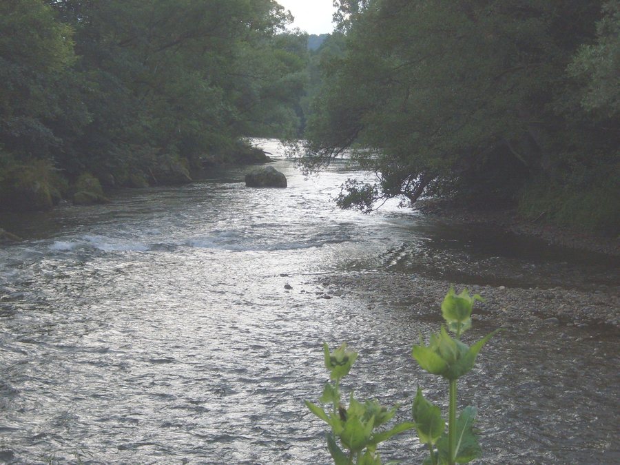
Landscape
The highest point in the municipality of Lučatín is Kupcova poľana, at an elevation of 815 metres in the Veporské vrchy mountains. At the same time, Kupcova poľana forms the easternmost point of the municipality. Within the municipality of Lučatín, the Hron River meanders. Hikers took a short break at Bukovienka; tourists travelling along the Hron camped there.
Hiking and cycling
From Lučatín railway station, a hike follows the Hronský chodník along the Hron River. On another hike from Lučatín towards Hiadeľ, the trail branches onto the Horský chodník. Thus, two different routes are documented: one follows the river, while the other heads towards Hiadeľ and continues onto a mountain trail.
For cyclists, the Hiadeľ – Hiadeľské sedlo – Moštenica – Lučatín – Hiadeľ route is 33 kilometres long and has an elevation gain of 938 metres. It is distinctly hilly; the steepest climb is towards Hiadeľské sedlo, and the route is suitable for mountain bikes. A local trail through the Kotáčová Valley also leads to cycle route No. 5558, the Brusniansky circuit. A cycling tour through the picturesque landscape of northern Podpoľanie passes through Lučatín between Ľubietová and Ľupča.
Culture and history
A small hillfort stood on Hradište hill above Lučatín and served as a watchpost in the distant past. The village is home to the Roman Catholic Church of Our Lady of Lourdes, a single-nave Neo-Gothic building dating from 1892. The Lutheran prayer house in Lučatín is a simple Modernist building from the first half of the 20th century.
The folk culture of Lučatín, including traditional dress, songs and customs, is classified as belonging to the Podkonice type and the Podpoľanie area. The weaving of rag rugs also survived in Lučatín until the 20th century. Lučatín is one of the municipalities within the Banskobystrický Geopark. Since 2016, it has been a national geopark of the Slovak Republic and has been included in the network of Slovak geoparks.
Transport links and activities
Lučatín has a railway stop on the electrified single-track line No. 170 between Zvolen, Brezno and Margecany. The rafting option is considered a sporting activity for both beginners and experienced participants; life jackets are also available for smaller children. Mass is currently celebrated regularly in the Church of Our Lady of Lourdes on Sundays, on obligatory holidays and once a week.
The included services, individual price components, and booking and cancellation conditions can likewise be compared before making a decision. This keeps the respective terms of the specific offer clearly separate from one another.
Other destinations: Donovaly, Moštenica, Spania Dolina, Podkonice, Harmanec, Riečka, Dolný Harmanec, Priechod.
To the higher-level travel overview: Banská Bystrica District.

