
Leśnica between the valley stream and the ridge
Accommodation in Leśnica
Leśnica offers several specific points of reference to help you find your way: the valley floor, the stream of the same name, and a route along the ridge between Leśnica and Białka. Other features include a church built entirely of wood and shared by Leśnica and Groń, as well as an activity zone behind the primary school. These features describe different aspects of the place. If you are looking for accommodation in Leśnica, it helps to distinguish between them: the valley and stream locate the settlement, the church and activity zone identify local destinations, while Droga Królewska describes a route passing several named points.
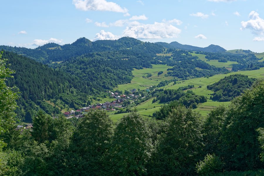 File:Leśnica, Pieniński Park Narodowy, Słowacja, 20210807 1052 1578.jpg
Photo: Jakub Hałun via Wikimedia Commons, CC BY-SA 4.0
The valley between Leśnica and Groń
Leśnica lies on the valley floor. The stream of the same name divides the valley almost in half; Leśnica is on one side, and Groń on the other. This gives the two place names a clearly defined geographical relationship. For orientation, this distinction is more useful than treating the names as interchangeable: the stream is a prominent feature of the valley, while Leśnica and Groń refer to its different sides. When comparing accommodation options, therefore, pay attention to the specific location given. The name of the place alone does not locate an offer more precisely than its description does.
The church and activity zone
The Church of St Jacek is built entirely of wood and is shared by Leśnica and Groń. It brings together both local references in a single building. The Otwarta Strefa Aktywności (Open Activity Zone) is located behind the primary school in Leśnica. The facility includes a children's playground and an outdoor fitness area; it was built in 2018 at the initiative of the Stowarzyszenie Aktywna Leśnica – Groń association. In getting your bearings, you will therefore encounter two different features: the shared wooden church and an activity zone with opportunities for exercise. If you are travelling with children, you can take the named playground into account as a point of reference when making your plans.
Route of Droga Królewska
Droga Królewska, also known as Wierchowa, runs from Bukowina Tatrzańska along the ridge between Leśnica and Białka. It passes over Koszarków Wierch and ends at Kobylarzówka in Groń.
Choosing accommodation based on local features
When choosing accommodation, it is worth first considering which point of reference matters to you during your stay. The valley floor and stream help you understand the layout of the valley; the church and activity zone are named destinations in Leśnica; Droga Królewska crosses a ridge and ends in Groń. Together, they show Leśnica from three perspectives: as a valley, through named destinations in the place, and along a route. So compare the precise place or location given for an offer with the feature you want to use for orientation.
Discover more destinations: Bukowina Tatrzanska, Ząb, Małe Ciche, Biały Dunajec, Gliczarów Górny, Rzepiska, Bustryk, Koscielisko.
For the broader travel overview: Tatra.

