
Ceske Zleby: Hotels and Accommodation
Accommodation in Ceske Zleby
České Žleby lies at an altitude of 913 to 950 metres above sea level at the foot of Žlebský vrch, which reaches a height of 1,080 metres.
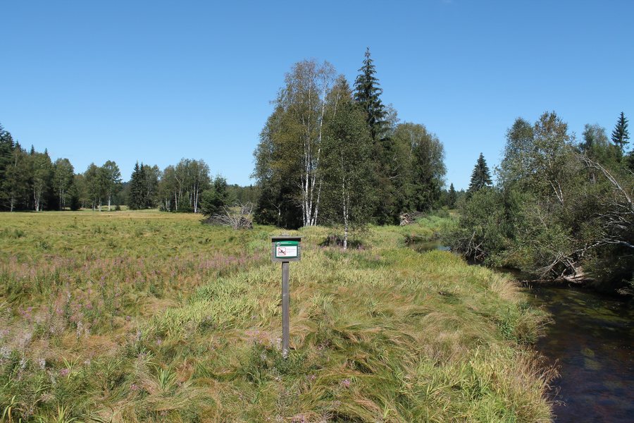 File:Stožec, České Žleby, PP Spálený luh (2020-08-20; 01).jpg
Photo: Harold via Wikimedia Commons, CC BY-SA 4.0
File:Stožec, České Žleby, PP Spálený luh (2020-08-20; 01).jpg
Photo: Harold via Wikimedia Commons, CC BY-SA 4.0
Landscape and Hiking Trails
The “Around České Žleby” hiking trail begins at the central car park and follows a yellow-marked route towards Mlaka and Kamenná Hlava. Along the way, there are views of Czech and German mountains, including Luzný.
The mountain of Stožec is located in the vicinity of České Žleby. The surrounding area also includes the mountains Křemenná, Eibenberg and Větrný.
Cycling Routes and Historical Connections
The first stage of the Zlatá stezka (Blanice) cycling route runs through České Žleby. One of the sights along this route in České Žleby is a stone fountain. The Vltava Route also reaches the village: it follows cycle route 1025 to České Žleby and continues from there on cycle route 33 to Stožec.
České Žleby lies on the historic Golden Trail (Zlatá stezka).
In the Area and Wider Surroundings
Relax Park České Žleby provides a starting point for exploring Šumava, with a car park, relaxation terraces, a historical exhibition and a children's playground.
In the wider regional surroundings of České Žleby are Chlumany, an archaeological site, and Schiffler Chapel, a church.
Other Places in the Area
Želnava, Lenóra, Nicov, Horní Vltavice, Außergefild, Vimperk, Stachy, Vacov
For the higher-level travel overview: Okres Prachatice.

.jpg)