
Křížkový Újezdec: Hotels and accommodations
Accommodation in Křížkový Újezdec
The international Greenway Praha–Vídeň cycling route runs through Křížkový Újezdec.
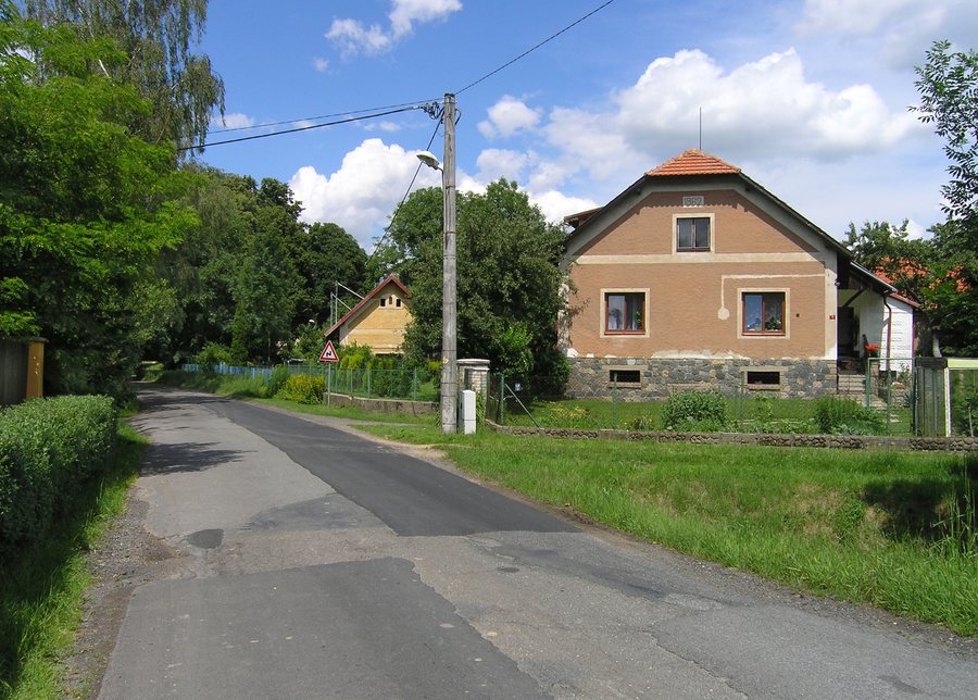 File:Křížkový Újezdec, Čenetice, south part.jpg
Photo: Pavel Hrdlička (Czech Wikipedia user Packa ) via Source, CC BY-SA 3.0
File:Křížkový Újezdec, Čenetice, south part.jpg
Photo: Pavel Hrdlička (Czech Wikipedia user Packa ) via Source, CC BY-SA 3.0
Nature and geography
The Kamenický (Čakovický) Stream rises in Křížkový Újezdec. In the Okrouhlík forest there is a 483-metre-high peak, the highest point in the surrounding area; from there, there are sweeping views of the Sázava Valley and towards the Benešovsko and Neveklovsko regions.
North of Křížkový Újezdec, the Botič Stream rises in the Okrouhlík forest. The Botič Stream also rises in Ovčáry; the area is classified as a regionally significant biocorridor.
History and village character
Křížkový Újezdec was first mentioned in a document on 26 November 1349. Křížkový Újezdec and Čenětice were founded as agricultural serf villages with small farmsteads and buildings around village squares on a main road.
A monument has stood on the hill near the hamlet of Na Křížkách since 1931. The Na Křížkách monument bears a dedication to the Hussite people.
Connections and village life
There is no railway line or siding running through or near Křížkový Újezdec; there is also no airfield there. The only main connection leads northeast towards Radějovice and Olešky and continues east via neighbouring Petříkov to Velké Popovice.
The local volunteer fire brigade organises social events and firefighting competitions for children and adults every year.
Other places: Sulice, Herink, Modletice, Ladvi, Kamenice, Kostelec U Křížků, Popovičky, Teptin
For the higher-level travel overview: Okres Praha-Východ.

