
Zagorje ob Savi: Hotels and Accommodation
Accommodation in Municipality of Zagorje ob Savi
The focus is on Zagorje ob Savi, where the 29.7-kilometre Pot Srečno hiking trail connects Laško, Hrastnik, Trbovlje and Zagorje ob Savi and is shaped by the region’s mining heritage.
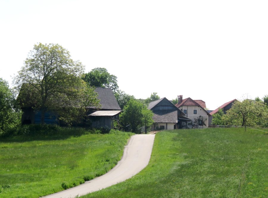 File:Osredek Zagorje ob Savi Slovenia - Srednji Osredek.jpg
Photo: Doremo via Wikimedia Commons, CC BY-SA 4.0
File:Osredek Zagorje ob Savi Slovenia - Srednji Osredek.jpg
Photo: Doremo via Wikimedia Commons, CC BY-SA 4.0
Hiking and Cycling
The Zagorje ob Savi section of the Pot Srečno is 4.9 kilometres long. Another route is offered by Goli hrib, where there is an easy hiking trail approximately 3 kilometres long with an elevation gain of 272 metres.
For mountain biking, the Cilenca Mountain Bike Park offers four named trails: Forest Bump, Jumanji, Super Mario and French Connection. The park covers 16 hectares and has an elevation difference of 200 to 230 metres.
Culture and History
Noč pred nočjo is a traditional event in Zagorje ob Savi. St. Peter and Paul’s Church was built in 1872 and 1873. Since 1960, Delavski dom Zagorje Cultural Centre has served as the cultural centre of the Municipality of Zagorje ob Savi.
The Zagorje Mining Museum is located in the former engine house of the Loke pri Kisovcu mine shaft. Using photographs and documentation, as well as various tools and items of equipment, it presents the history of mining and aspects of the miners’ work. The mining history of the Municipality of Zagorje ob Savi, which is covered by the Zagorje Mining Museum, dates back more than 250 years.
On Miners’ Day, 3 July, a celebration organised by the RMED Zagorje association took place in Zagorje.
Nature and Landscape
Evropark is a restored area of Ruardi that was formerly used for depositing slag and waste from nearby mines. Today, Evropark has walking paths, a cycling path, a children’s playground and the Argonaut ship. There is also a small airfield with a 450-metre runway.
The area surrounding the Municipality of Zagorje ob Savi includes Mount Javor, the Crni Vrh (2) peak, Čemšeniška Planina mountain and Mount Dolgo Brdo.
The Zasavska Sveta gora hill is 852 metres high. It lies on the left bank of the Sava between Zagorje ob Savi and Litija and offers beautiful views. The Sušjek waterfall consists of a 4-metre-high lower section and a 15-metre-high upper section.
Culinary Traditions
Traditional knapovske dishes such as šmorn, funšterc, krumpentoč and ajmuht have survived in connection with the mining history of Zagorje ob Savi. They are still prepared in the Zasavje region today.
If you would like to find a hotel in Zagorje ob Savi, the accommodation search is the ideal next step.
To the higher-level travel overview: Slovenia.
More Destinations
More places within the same destination:

