
Poronin between rivers and foothills
Accommodation in Poronin
Poronin can be described in terms of its elevation, river basin and location northeast of Zakopane. These reference points can help you compare the town as a possible place to stay, considering its landscape, culture and accessibility.
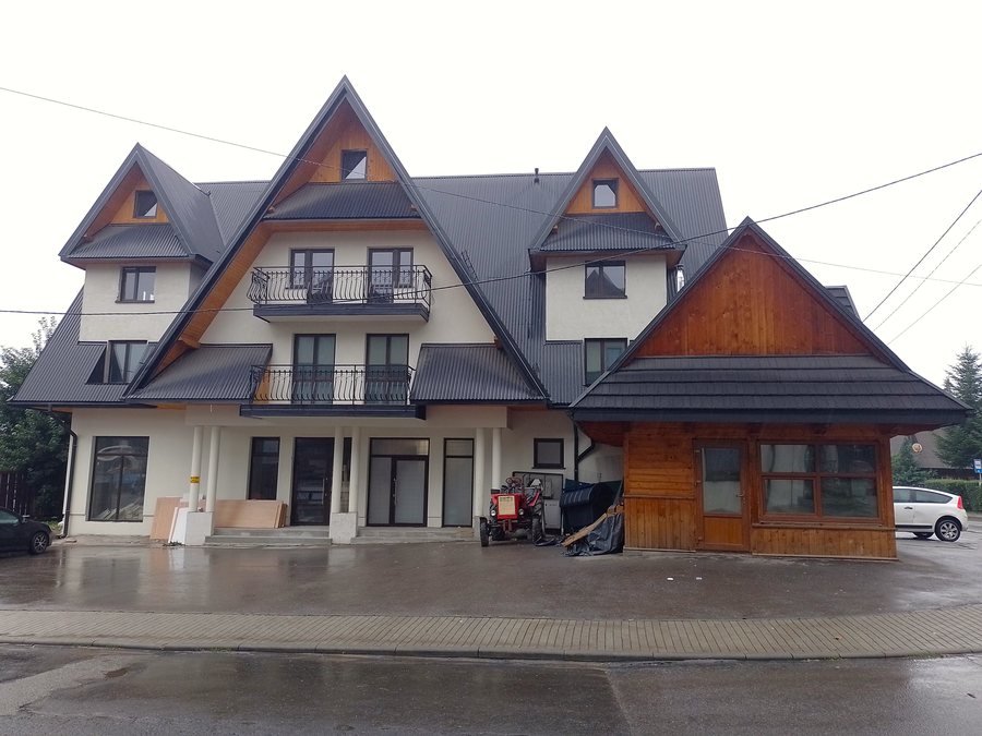
Location between foothills and rivers
Poronin lies at an altitude of 740 to 800 metres above sea level. The village has been situated in a basin between the Pogórze Gliczarowskie and the Pogórze Gubałowskie since the early 17th century, along the Poroniec, Zakopianka and Biały Dunajec rivers. The Zakopianka and Poroniec meet in Poronin; the Biały Dunajec begins here. Poronin lies seven kilometres northeast of Zakopane.
This gives you several concrete reference points for finding your way around: the elevation, the basin between the two foothills, the confluence and the direction of Zakopane. Each describes a different aspect of the town’s location and gives you a basis for comparing possible places to stay.
Getting there and finding your way around
A railway line runs through Poronin. National Road 47 also passes through the town, connecting Zakopane with Kraków. International Road 961 also runs through Poronin, heading towards the former Polish-Slovak border crossing at Łysa Polana.
When planning your journey, check the train connections or road route that best suit your travel date. These transport links offer different geographical reference points: National Road 47 places Poronin on the route between Zakopane and Kraków, while Road 961 heads towards Łysa Polana.
School museum and local history
The School Museum of History and Regional History has been housed in the Legions Polskich Primary School building since 2015. It contains around 800 exhibits on the history of Poronin and Podhale, Goral culture, regionalism and notable people associated with Poronin. The topics connect local history with regional culture and offer various points of interest for a visit.
The museum is open to visitors Monday to Friday from 8:00 a.m. to 3:00 p.m. Visits at other times can be arranged in advance by telephone with the school management. If you plan to visit outside regular opening hours, arrange this by phone in advance.
Wańkówka and other reasons to visit
Wańkówka is a historic, listed building of architectural, artistic and historical value. It serves a public purpose in Poronin and houses the Municipal Information Centre, the Municipal Cultural Centre, the Municipal Library, the Podhalanie Association and the Goral ensemble “Regle”. The building thus represents both historic architecture and a range of public and cultural offerings in the town.
Wańkówka also lies on a recreational trail that runs from Poronin to Liptovská Kokava via Wołowiec. If you plan to visit one of the facilities housed there, check the relevant visitor information in advance.
A municipal tourism listing from July 2022 mentions a 12-metre-high climbing wall on the tower of the OSP Poronin volunteer fire brigade. Use was permitted only under the supervision of qualified people and by prior appointment; visitors had to bring their own equipment. Check these conditions before visiting.
Discover more destinations: Gliczarów Górny, Leśnica, Rzepiska, Bukowina Tatrzanska, Małe Ciche, Ski accommodation in Zakopane, Biały Dunajec, Białka Tatrzańska
Return to the main travel overview: Tatra.

