
Obermaiselstein: Hotels and Accommodation
Accommodation in Obermaiselstein
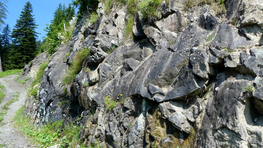 File:2024 Obermaiselstein Bolsterlang Bolgenkonglomerat 001.jpg
Photo: ManfRomeoWohlfahrt via Wikimedia Commons, CC0
File:2024 Obermaiselstein Bolsterlang Bolgenkonglomerat 001.jpg
Photo: ManfRomeoWohlfahrt via Wikimedia Commons, CC0
The main settlement of Obermaiselstein lies at 849 metres above sea level; the church square serves as the reference point for this elevation. The highest surrounding elevations include the Riedberger Horn at 1,787 metres and the Besler at 1,679 metres.
Landscape
Around 60 percent of the municipality’s 2,500-hectare area is used for alpine farming or forestry. The Schwarzenberg ridge runs through the alpine area; Besler and Schafkopf form its southwestern end. Schafkopf lies in the surrounding area of Obermaiselstein.
Burgberg and Geißwiedenkopf are located in the immediate vicinity of Obermaiselstein. The surrounding area also includes Kleine Ochsenkopf and Schafkopf.
Geographical classification
Obermaiselstein is a municipality in the Oberallgäu district of Bavaria and belongs to the Hörnergruppe administrative community.
If you would like to stay overnight in Obermaiselstein, you can find a hotel.
Culture and surroundings
The ruins of Hugofels are located in the surrounding area of Obermaiselstein. The parish churches of Schröcken, Au and Bizau are located in the wider regional area.
To the higher-level travel overview: Oberallgäu.
More destinations
More places at the same destination:

