
Schöfweg: Ski resort in Langfurth, cross-country ski trails and hiking paths
Accommodation in Schöfweg
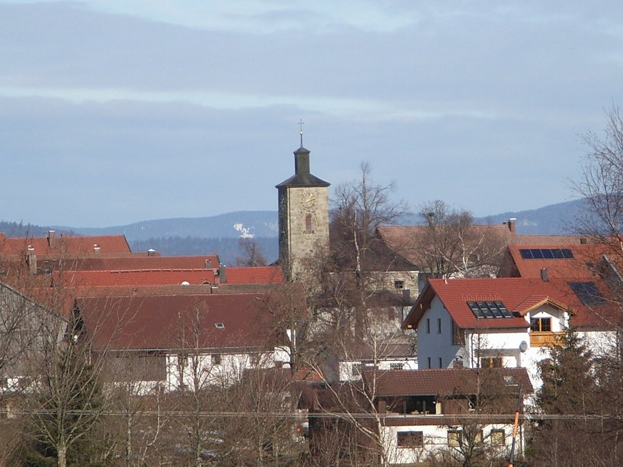
Schöfweg is situated on the ridge of the Sonnenwald below the Brotjacklriegel (1,010 m), whose distinctive transmission tower is visible from afar. The ski resort of Schöfweg is located in the municipal district of Langfurth.
Ski resort in Langfurth
The ski resort has seven lifts, two of which are equipped with floodlighting and snowmaking. A children’s area and a ski school complement the facilities, which also include a fun park for snowboarders. Details about the facilities may change from season to season. Check the latest information before your trip.
Cross-country skiing and trails
There are 23 km of groomed cross-country ski trails in Schöfweg and the surrounding area. Their availability depends on winter conditions. It is also helpful for planning to note the geographical scope: the stated trail network covers Schöfweg and its surroundings, while the seven lifts are located in the municipal district of Langfurth. This makes it easy to distinguish cross-country skiing from the local ski resort as separate winter activities.
Schöfweg has a well-signposted network of hiking trails and connects to the Goldsteig premium hiking trail. The Sonnenwald Adventure Trail connects to the Goldsteig from Schöfweg via feeder trail no. 35. These are two distinct trail connections: the village’s connection to the Goldsteig and the Adventure Trail’s link via the named feeder route.
The Mitterdorf/Schöfweg–Brotjacklriegel Tower Trail is 2.5 km long, easy, and suitable for pushchairs and wheelchairs; the walking time is about 45 minutes. There is also a hedge nature trail in the municipal district of Allhartsmais. Alongside winter activities, visitors will find specific starting points for walks and hikes.
Village character and regional context
The parish church of Mary, Mother of Sorrows, a distinctive granite building, stands in the centre of Schöfweg. Another landscape feature is located in the municipal district of Haunstein: a biotope. Both places add notable local landmarks to the ridge and surrounding trails.
In the wider travel region of Freyung-Grafenau, the Bavarian Forest National Park extends into the district of Freyung-Grafenau. It opened on 7 October 1970 as Germany’s first national park. The Buchberger Leite is also part of the region’s natural and cultural landscape. In the wild-stream gorge, steep rock barriers force the boulder-strewn, cascading Wolfsteiner Ohe into a narrow channel; remnants of primeval forest have survived in the moss- and fern-rich gorge woodlands.
An eight-kilometre themed hiking trail runs through the Buchberger Leite between Freyung and Ringelai, complemented by information boards and an accompanying brochure. Historic timber-floating walls, tunnels hewn into the rock and above-ground canals bear witness to centuries of human activity there. These regional nature and culture themes offer a distinct focus alongside information about Schöfweg and its local winter and hiking activities.
Discover more destinations: Grafenau, Neureichenau, Neuschönau, Grainet, Philippsreut, Freyung, Röhrnbach.
Go to the overview of the wider travel region: Freyung-Grafenau.

