
Ringelai: Hotels and Accommodations
Accommodation in Ringelai
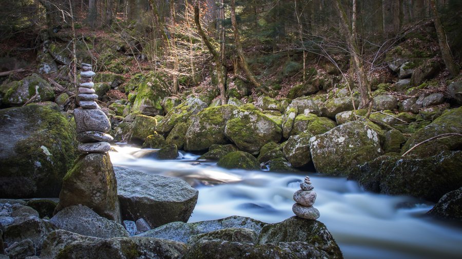
Ringelai is a municipality in the district of Freyung-Grafenau in Lower Bavaria and is located in the Bavarian Forest region. The municipality is situated in the Bavarian Forest on the deeply incised, broad valley floor of the Wolfsteiner Ohe. Locally, Ringelai is considered to be situated in the Bavarian Schmalzdobl.
When planning your stay in Ringelai, you may wish to focus on finding and booking a hotel.
Geographical Location
Ringelai is approximately 8 kilometers west of Freyung, 11 kilometers southeast of Grafenau, 18 kilometers northeast of Tittling, and 33 kilometers north of Passau.
Landscape
Sulzberg and Steinberg are located in the immediate vicinity of Ringelai. Kühberg and Großalmeyerschloss are situated in the surrounding area.
Culture and History
The archaeological adventure park offers activities for visitors, such as bread baking, and provides insights into Celtic life.
A church was built in 1752 on the site of a chapel and was replaced by a new building between 1919 and 1921. Boundary stones from 1691 have been preserved at Geistlicher Stein.
In the wider regional surroundings of Ringelai are Krämpelstein Castle, Passau Cathedral, Königstein Castle Ruins, and Rathmannsdorf, St. Ulrich Catholic Parish Church.
Leisure and Surroundings
A stay in Ringelai is associated with leisure opportunities such as Bavarian Forest National Park, Pullman City, and the Bavarian Forest mountains Arber, Rachel, and Lusen.
Other destinations: Zenting, Spiegelau, Schöfweg, Philippsreut, Grafenau, Innernzell, Hohenau, Thurmansbang
To the higher-level travel overview: Freyung-Grafenau.

