
Grafling: Hiking Trails and Valley Scenery
Accommodation in Grafling
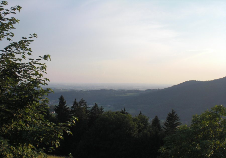
Grafling combines hiking trails with the scenery of the Graflinger Valley. The routes offer different points of reference when planning your stay: one circular route is specified in terms of distance, elevation gain, duration, and difficulty; alongside this is the general assessment that most hiking trails are not too difficult for children. The nature trail, herb garden, and Kohlbach add to the picture of the surrounding area.
Hiking Trails by Time and Difficulty
The Grafling–Ulrichsberg–Wühn–Grafling circular route is 7.5 kilometres long. The route is listed as having 335 metres of elevation gain and taking about 2.5 to 3 hours; its difficulty is rated moderate. These figures describe different aspects of the tour: the distance shows the route length, the elevation gain indicates the ascent, and the time gives an approximate planning guide. Together, they provide a more specific point of reference than distance alone.
The general information about hiking trails in Grafling is also useful for families: most are not too difficult for children. This assessment applies to the majority of trails, while the circular route is rated moderate in its own right. When choosing a tour, you can therefore take both the general options and the specific details of this circular route into account. The stated duration of 2.5 to 3 hours also helps you estimate how much time to allow for this outing.
Trail Markers and Nature Trail
The Butzen circular route is designated hiking trail 6. Check local conditions before setting out on a specific tour. This way, the trail number serves as a guide when choosing a route, while on-site conditions can be taken into account when planning your day.
Cycling is also possible on some sections: parts of the hiking trails run along forest roads that can be used by bicycle. A herb garden on the nature trail provides a distinct nature stop among the local attractions. If you want to compare routes, you can use several different points of reference: a designated hiking trail number, individual sections of forest road that can also be cycled, and the herb garden on the nature trail.
The Graflinger Valley and the Kohlbach
The Kohlbach runs through the Graflinger Valley. Its source is on the Vogelsang; near Deggendorf, it flows into the Danube. This makes it possible to place the stream geographically along its course: from its source on the Vogelsang, through the valley, to its mouth near Deggendorf. The Graflinger Valley lies away from mass tourism and is considered one of the most beautiful valleys in the Bavarian Forest.
Grafling’s character is shaped by both specific route details and the wider landscape. The circular route can be assessed by time, distance, and difficulty; the description of the Kohlbach places the valley in the river’s course. The general assessment of most hiking trails offers another perspective for families, without replacing the rating of any individual tour.
A Wider Landscape: Deggendorf
The wider travel destination of Deggendorf offers additional, distinct landscape and cultural attractions. Natternberg Castle Ruins can be reached via footpaths from three sides; from there, the view extends across the Gäuboden and into the Bavarian Forest. Winzer Castle Ruins are also noted for their views over the Danube Valley. These places are part of the wider Deggendorf area and should be distinguished from Grafling’s hiking trails and landscape features.
The wider landscape of the Deggendorf region stretches from the heights of the Bavarian Forest across the Danube landscape, including the Isar estuary, to the colours of the Gäuboden. Elevations there range from 200 to 1,150 metres above sea level. The wider travel destination therefore encompasses a greater variety of landscapes, while Grafling retains its own local character through the Graflinger Valley, the Kohlbach, and its hiking trails.
Discover more destinations: Grattersdorf, Metten, Deggendorf, Schöllnach, Hunding, Lalling.
Go to the main travel overview: Deggendorf District.

