
Deggendorf: Hotels and Accommodation
Accommodation in Deggendorf District
The Deggendorf district brings together distinctly different landscapes. The Danube divides it into two contrasting geographical areas: north of the river, the Bavarian Forest rises steeply, while relatively flat land stretches across the south.
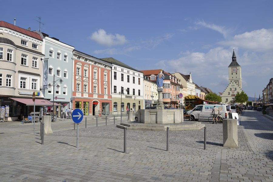
If you would like to book a hotel in Deggendorf, start your accommodation search.
Landscape and Bodies of Water
The Isar enters the district in the south and meets the Danube near the town of Deggendorf.
Elevations and Regional Surroundings
At 1,220 metres, Einödriegel is the highest point in the Deggendorf district.
The wider regional surroundings of Deggendorf also include Hirschenkopf, Dreitannenriegel, Burgstein and Hochberg.
Culture and Destinations
The spa park is also located in the wider regional surroundings of Deggendorf. The wider regional surroundings of Deggendorf include Aunkirchen with the parish church of the Finding of the Holy Cross, as well as Rathmannsdorf with the Catholic parish church of St Ulrich.
More local pages: Metten, Grafling, Grattersdorf, Lalling, Schöllnach, Deggendorf, Hunding.
To the overarching travel overview: Bavaria.
More Destinations
More places within the same destination:

