
La Motte-En-Champsaur: Hotels and Accommodations
Accommodation in La Motte-En-Champsaur
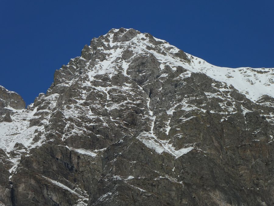 File:Banc du Peyron depuis la Motte-en-Champsaur, 10.jpg
Photo: Yann Forget via Wikimedia Commons, CC BY-SA 4.0
File:Banc du Peyron depuis la Motte-en-Champsaur, 10.jpg
Photo: Yann Forget via Wikimedia Commons, CC BY-SA 4.0
La Motte-en-Champsaur lies in the Séveraissette Valley, which stretches from the Bocage des Champsaur to the high mountains, with the Vieux Chaillol summit at 3,163 m. Almost one-third of the municipality's area lies within the core zone of Écrins National Park, entirely on state-owned land.
Searching for hotels in La Motte-en-Champsaur is an integral part of planning your trip.
Landscape
The landscape around La Motte-en-Champsaur is characterized by deep wooded gorges, a dry and sunny south-facing slope, and crystalline and sedimentary rocks.
Hiking
Marked hiking trails lead through the wild valleys of La Motte-en-Champsaur. Another marked route is reserved for mountain biking and horseback riding. Molines-en-Champsaur is a starting point for numerous hikes.
Several routes starting from La Motte-en-Champsaur are described with varying levels of difficulty and different trail profiles: The hike to the Col de Font Froide is a challenging 15.3 km circular route with a walking time of 8 hours and an elevation gain of 1,313 m. The Chemin du Roy is a very easy 7.2 km circular hike with a walking time of 2 hours and 30 minutes and an elevation gain of 168 m. It follows a family-friendly path along a mountain stream through the valley to the ruins of the hamlet of Roy. Peyron Roux is a moderately difficult 5.4 km circular hike with a walking time of 2 hours and 30 minutes and an elevation gain of 380 m. This family-friendly hike leads from the hamlet of Molines to the Peyron Roux forest hut; there are waterfalls around the hut.
The Col de Font Froide hiking trail leads from the hamlet of Molines through the impressive Font Froide rock glacier into a high-mountain landscape. The La source des Fontettes trail follows the Torrent des Pins mountain stream through a high-mountain landscape.
Culture and History
The abandoned hamlets of Sellon, Londonnière, Boyers, and Roy bear witness to the former settlement of the Séveraissette Valley. In Molines, the exhibition “Molines-en-Champsaur, hier, aujourd'hui et demain” was open to the public at the Maison Nouguier.
The Château Barthélémy consists of two adjoining sections: a château section dated 1590 and an adjoining farm section from the early 19th century. The property, which was a notary's residence, was probably converted into a farm during the French Revolution. Molines also has a communal bread oven, a building probably dating from the 18th or early 19th century that was used for communal bread baking.
For the overarching travel overview: Hautes-Alpes.
More Destinations
More places within the same destination:

