
Svatá Kateřina: Hotels and Accommodation
Accommodation in Svatá Kateřina
The Jižní stezka leads through the Šumava in eight stages, from Vyšší Brod to Svatá Kateřina, and is 192 kilometres long in total.
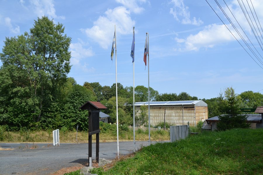 File:Svatá Kateřina (Chudenín) - křižovatka se silnicí 191, obr01.jpg
Photo: RomanM82 via Wikimedia Commons, CC BY-SA 4.0
File:Svatá Kateřina (Chudenín) - křižovatka se silnicí 191, obr01.jpg
Photo: RomanM82 via Wikimedia Commons, CC BY-SA 4.0
Border Area and Trails
The nearby Svatá Kateřina (Rittsteig) border crossing enables day trips to the Bavarian side and back. Above Svatá Kateřina, the Sv. Kateřina–Rittsteig border crossing can be used.
Parking is available directly on site at the Svatá Kateřina border crossing. On weekdays, buses run from Nýrsko to the Chudenín and Svatá Kateřina stops; the Chudenín, Svatá Kateřina, st.hr. stop is also served only on a limited basis.
Border marker 15C has no Bavarian coat of arms carved and highlighted in colour on the Bavarian side because the border follows a watercourse there and the Chodská Úhlava forms a meander in the opposite direction.
Nature and Landscape
The Šumava Natura 2000 site comprises Šumava National Park, the Šumava Protected Landscape Area and part of the Šumava Biosphere Reserve. It extends from Svatá Kateřina in the Klatovy District southeastwards to Přední Výtoň in the Český Krumlov District.
Mount Stangenruck lies in the vicinity of Svatá Kateřina. The surrounding area also includes the mountains Kronwithöhe, Lovečná and Jägerhübel.
The PP U Radošína protected area lies in the cadastral area of Svatá Kateřina; a former amphibolite quarry is located there.
Culture and Other Destinations
The Hradčany Hillfort is designated as a monument in Svatá Kateřina. The Bayerwald-Tierpark Lohberg is located in the vicinity of Svatá Kateřina.
The wider regional surroundings of Svatá Kateřina include the Neunussberg castle ruins and the Church of the Assumption of the Virgin Mary in Chammünster.
To the higher-level travel overview: Klatovy District.
Further Destinations
Other places under the same destination:

_-_k%C5%99i%C5%BEovatka_se_silnic%C3%AD_191,_obr01.jpg)