
Libštát: Hotels and Accommodations
Accommodation in Libštát
Libštát lies in the foothills of the Krkonoše Mountains. Between mountain landscapes, historic religious buildings and signposted trails, the town has a clearly recognizable cultural and natural character.
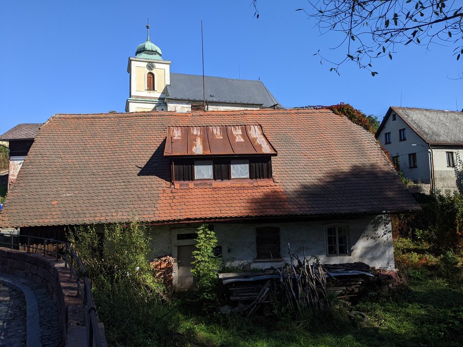 File:Libštát - dům čp. 4 (stav září 2024).jpg
Photo: MartinVeselka via Wikimedia Commons, CC BY-SA 4.0
File:Libštát - dům čp. 4 (stav září 2024).jpg
Photo: MartinVeselka via Wikimedia Commons, CC BY-SA 4.0
Geographical Location
Libštát lies on the road between Lomnice nad Popelkou and Jilemnice.
Culture and History
The Catholic Church of St. George in Libštát has been documented since 1361. A Baroque statue of the Virgin Mary stands in Libštát’s square. The former wooden school building dates from 1781.
The Protestant history is also present in the townscape. The second Protestant church in Hoření Konec was built by followers of the Augsburg Confession between 1838 and 1842. The Protestant church in Hoření Konec later received a wooden bell tower. The parsonage of the first Toleration Church was built in 1786 by believers of the Helvetic faith, that is, Calvinists, as a single-nave, flat-roofed prayer hall. The Reformed prayer house with a bell tower and cemetery is a protected monument and was declared a cultural monument in 2001.
Trails
A red-marked hiking trail leads through Libštát towards Jilemnice, the Krkonoše Mountains and the source of the Elbe. Local cycling and hiking loops around Libštát offer views of the landscape.
The section of the Pojizeřím cycling route through Libštát crosses a historic stone bridge over the Oleška River. The Pojizeřím cycling route follows cycle route No. 4171 towards Libštát, makes a detour via Bělá through the quiet Oleška Valley and then returns to Libštát on route No. 4171.
Other places in the same geographical area: Studenec, Roztoky U Semil, Štěpanická Lhota, Vysoke Nad Jizerou, Horní Dusnice, Mrklov, Benešov U Semil, Vítkovice V Krkonoších.
To the main travel overview: Semily District.

.jpg)