
Cetnov: Hotels and Accommodation
Accommodation in Cetnov
Cetnov is located on the Skalka Reservoir on the Ohře River. Cetnov is one of the places situated along the reservoir’s shores; the body of water is mainly used for recreation, while the surrounding area is predominantly occupied by holiday settlements.
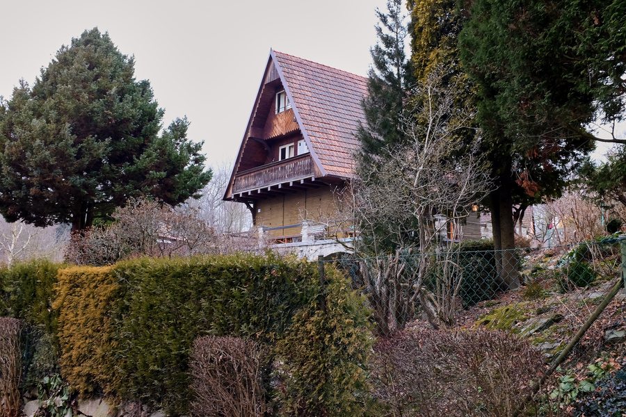
Water and Landscape
Cetnov, also known as Zettendorf, was originally situated high above the Ohře. After the reservoir was flooded, the water reached the edge of the village.
Cycling Routes by the Reservoir
A 1.5 km-long spur of Cycle Route 2063 leads to Cetnov from the junction near Klest. In addition, Cycle Route 257 runs along the shore from Bříza via Cetnov to Skalka.
History and Archaeology
The Cetnov–Vlčí vrch archaeological site lies northeast of Cetnov, on the left bank of the Ohře. It is registered as an immovable cultural monument and is described as a prehistoric settlement and burial site with archaeological remains.
The first written record of Cetnov dates from 1221. Cetnov is also one of the polycultural archaeological sites on the northern shore of the Skalka Reservoir that were inhabited from the Late Paleolithic to the Middle Ages.
A vessel from the younger Merovingian period was found in Cetnov. Cetnov’s fortified tower was demolished after the village fire of 1892 and has not survived. However, an old well with a granite basin and the year 1510 remained at the former fortress site after the fire.
Other places: Liebenstein, Eger, Fleißen, Skalka U Chebu, Haslau, Lindenhau, Neuberg, Scheibenreuth.
For the higher-level travel overview: Eger District.

.jpg)