
Rossinière: Hotels and Accommodations
Accommodation in Rossinière
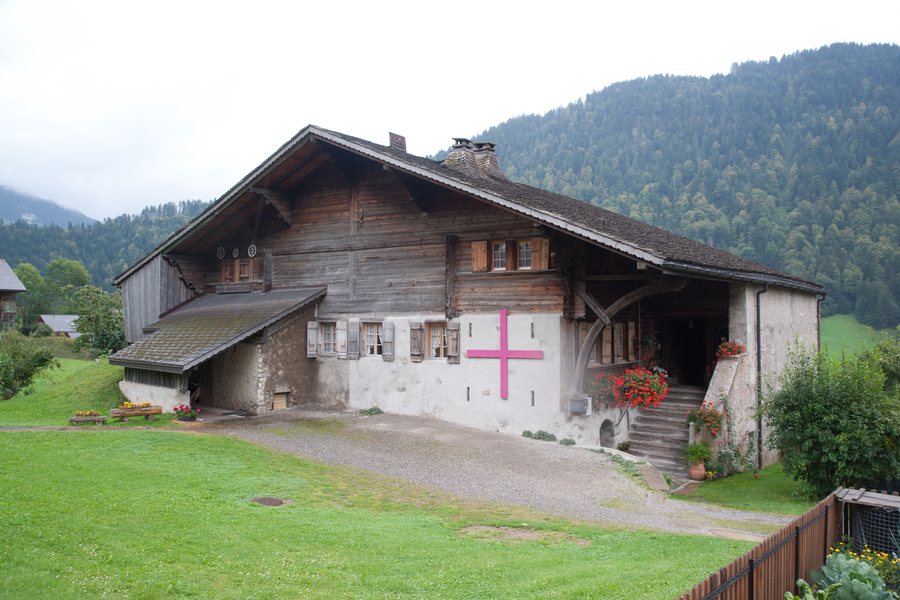
Rossinière is located in a landscape described as pre-Alpine, with alpine meadows, dense forests, and mountain formations. The Sarine River and the Hongrin Valley shape the surrounding local topography.
Nature
There are mountain trails around Rossinière that are considered moderate or difficult. The terrain associated with them is connected with alpine meadows, forests, and mountain formations.
Geographical Location
Rossinière is a Swiss municipality in the canton of Vaud and in the Riviera-Pays-d'Enhaut district. The municipality covers 23.36 km². In the land-use survey for the period from 2013 to 2018, 50.3 % of the area was forested and 37.5 % was used for agriculture.
Surroundings
Le Pâqueret is located in the immediate vicinity of Rossinière. Rochers de St. Jacques, Corne du Soere, Château Chamois, and Gummfluh are also located in the surrounding area of Rossinière.
Transport
Rossinière has a railway station on the Montreux–Bernese Oberland Railway (MOB) line.
For a stay in Rossinière, you can find and book a hotel specifically.
More destination pages: Château-D'oex, La Lécherette, L'etivaz, Les Avants, Blonay, Jongny, Rougemont Vd, Chardonne.
For the overarching travel overview: Riviera-Pays-D'enhaut.

