
Attinghausen: Hotels and Accommodation
Accommodation in Attinghausen
Attinghausen lies on the left bank of the Reuss at approximately 469 metres above sea level. The municipality extends from the river landscape up into high-alpine areas. If you would like to find and book a hotel in Attinghausen, you can choose accommodation to suit your personal travel plans.
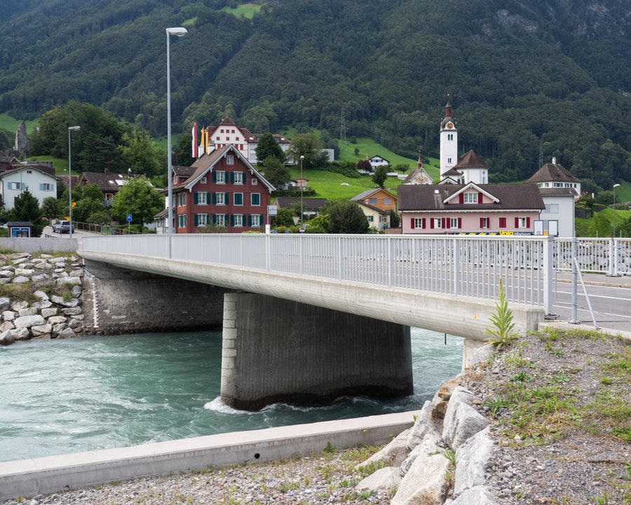 File:Attinghauser Brücke Reuss Altdorf UR - Attinghausen UR 20160728-jag9889.jpg
Photo: Jag9889 via Wikimedia Commons, CC BY-SA 4.0
File:Attinghauser Brücke Reuss Altdorf UR - Attinghausen UR 20160728-jag9889.jpg
Photo: Jag9889 via Wikimedia Commons, CC BY-SA 4.0
Nature
Äiehorn is located in the immediate surroundings of Attinghausen. The surrounding area also includes Älplistock, Uf den Spitzen and Schön Chulm.
The municipality includes the Surenen alpine pasture area beyond the Surenen Pass, which extends to the vicinity of Engelberg. The Surenen Valley lies between the Wissigstock and Schlossberg mountain ranges.
Large parts of the municipality consist of high-alpine terrain or unproductive alpine vegetation. The area also includes extensive alpine pastures and forests. To the north, the municipality is bordered by the Palanggenbach, and to the south by the Angibach and Bockibach. The Bockibach flows through the narrow Bockitobel.
In the wider regional surroundings of Attinghausen are Muotathal Abbey and the Goldau Nature and Animal Park.
Other places: Bürglen, Hospental, Spiringen, Erstfeld, Wassen, Isenthal, Göschenen, Flüelen
For the higher-level travel overview: Uri.

