
Rivera Ti: Hotels and accommodations
Accommodation in Rivera Ti
Rivera is located at the southern foot of Monte Ceneri and east of Monte Tamaro. The elevation ranges from 260 to 1,929 metres above sea level, and the area covers 13.35 km².
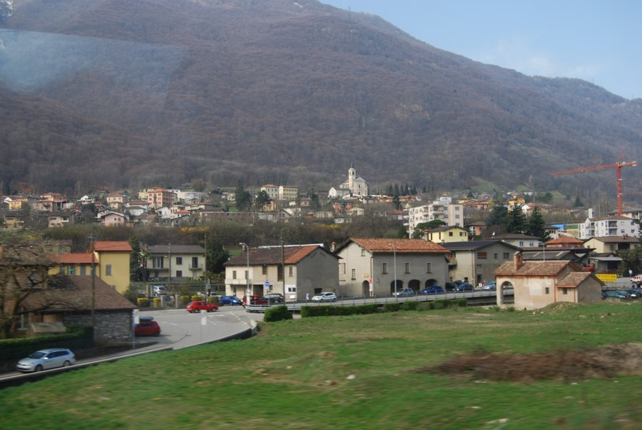 File:2011-03-27 Monteceneri (Foto Dietrich Michael Weidmann) 050.JPG
Photo: Dietrich Michael Weidmann via Wikimedia Commons, CC BY-SA 3.0
File:2011-03-27 Monteceneri (Foto Dietrich Michael Weidmann) 050.JPG
Photo: Dietrich Michael Weidmann via Wikimedia Commons, CC BY-SA 3.0
Perhaps you would like to book a hotel in Rivera.
Geographical location
Rivera is located approximately halfway between Bellinzona, the cantonal capital, and Lugano, the regional economic centre. The A2 motorway runs through Rivera; the nearby Rivera junction provides direct access to the north–south axis.
History and culture
Rivera and its three hamlets of Sorencino, Soresina and Capidogno are first mentioned around 1300. Sorencino is already recorded separately in 1296. The Oratorio Santa Maria is associated with the hamlet of Soresina.
Surroundings
Mugia and Poncione del Macello are located in the immediate surroundings of Rivera. The surrounding area includes Falconeria Locarno, Pòla, Poncione di Breno and Bellinzona Monastery. Santi Pietro e Paolo is located in the wider regional surroundings of Rivera.
For the higher-level travel overview: Lugano.
More destinations
More places under the same destination:

_050.JPG)