
Epauvillers at Clos du Doubs – Nature and Trails
Accommodation in Epauvillers
Epauvillers combines the elevated setting of the Jura with the Doubs valley. The village lies at 696 m above sea level in a hollow on the southern slope of the Clos du Doubs Jura range, around 230 m above the floor of the Doubs valley. This means that both the hillside location and the connection to the river valley are immediately clear.
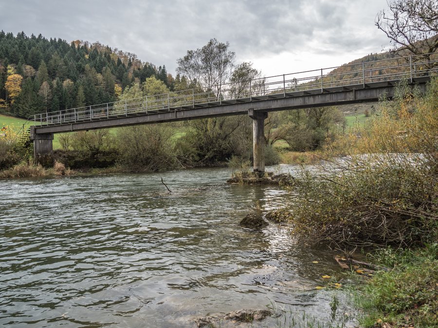 File:La Charbonnière-Steg über den Doubs, Epauvillers JU 20231029-jag9889.jpg
Photo: Jag9889 via Wikimedia Commons, CC BY-SA 4.0
File:La Charbonnière-Steg über den Doubs, Epauvillers JU 20231029-jag9889.jpg
Photo: Jag9889 via Wikimedia Commons, CC BY-SA 4.0
Geographical setting
The former municipality of Epauvillers included the foothills that descend steeply via Sous les Roches to the deeply incised Doubs, the broad Fin du Teck ridge at 892 m above sea level, the Bois de Villers with its highest point at 917 m, and the rocky promontory of Chêtelat at 841 m. These elevations and landforms provide several scales for understanding the landscape between the ridge, foothills and river valley.
In the former municipality, 53% of the land was used for agriculture and 43% for forests and wooded areas in 1997.
Nature
Epauvillers is part of the cantonally protected “la vallée du Doubs” nature reserve. In addition to the elevation and landforms, this also associates the village with a clearly designated natural area.
Other places at the same administrative level include Les Bois, Les Breuleux, Le Bémont, Muriaux, Saignelégier, Les Enfers, Montfaucon Ju and Le Noirmont.
Culture
The Église d’Epauvillers was rebuilt at the end of the 17th century after its destruction during the Thirty Years’ War. It has a small late neo-Baroque organ, created by the Wetzel brothers in 1868 and restored in 1971. The Notre-Dame de Lourdes Grotto is located in the Finage district of Epauvillers.
Trails
The 9.6-kilometre Tchérattes running route starts in Epauvillers and is marked year-round. Visitors can travel on foot or by mountain bike along the Tchérattes routes used by runners, without the pressure of timed competition.
The Clos du Doubs Bike cycling route follows the sequence St-Ursanne–Epiquerez–Epauvillers–St-Ursanne. Near the village of Epauvillers, the relevant section leads downhill through pastureland to the Doubs.
After passing through part of Montenol, a trail leads east across the Chételat massif and back to Epauvillers.
Les Tchérattes en liberté offers refreshment stations, scenic experiences and a souvenir prize. The different trail types and routes can therefore be considered separately, without combining them into a single route.
When comparing accommodation in Epauvillers, you can check travel dates, room categories and cancellation policies side by side on accommodation listings.
Local offerings
The Groupe Sportif Epauvillers-Epiquerez has been organising events for 50 years; the Course pédestre des Tchérattes is considered particularly well known beyond the canton’s borders.
The “Goûts et Saveurs du terroir” offering includes a Table d’hôtes for 2 to 10 people by reservation and provides horse stalls.
For the higher-level travel overview: Franches-Montagnes.

