
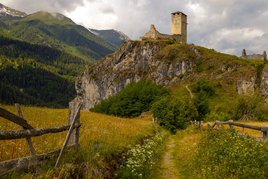
Nature
Muot Aut, Muott'Auta and Piz Nair are located in the immediate vicinity of Ardez. Muot da Cler is situated in the surrounding area of Ardez.
The Ardez circular hiking trail offers views of the three-thousand-metre peaks on the opposite side of the valley and of the side valleys of the Lower Engadine. From higher elevations, the views extend as far as the Macun mountain lakes in the national park.
Hiking
A published circular hiking route starts and ends at Ardez railway station, leads through the village centre and reaches a highest point at 2,482 metres.
Getting Around
From Ardez railway station, the Rhaetian Railway provides hourly connections from Chur, Landquart/Prättigau, Scuol or the Upper Engadine.
History
Prehistoric finds have been recorded at Bos-cha and Chanoua. The Suotchastè site is recorded as having been inhabited from the Late Bronze Age through the Iron Age.
Anyone wishing to book a hotel in Ardez plans their accommodation around this location.

