
Brail: Winter Trails and Local History
Accommodation in Brail
Brail derives most of its income from summer and winter tourism. One winter route is the Cinuos-chel–Brail connection: it is 1.9 kilometres long, takes around 15 minutes and is closed.
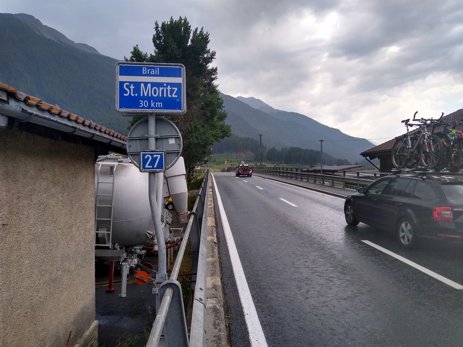 File:Panneau 4.28 Brail St. Moritz et plaque 4.57.jpg
Photo: Marc Mongenet via Wikimedia Commons, CC BY-SA 4.0
File:Panneau 4.28 Brail St. Moritz et plaque 4.57.jpg
Photo: Marc Mongenet via Wikimedia Commons, CC BY-SA 4.0
Geographical Location
Brail is a fraction of the municipality of Zernez in the Lower Engadine and lies at an altitude of 1,636 metres. Geographically, Brail is assigned to the Lower Engadine, but linguistically and culturally it is already considered part of the Upper Engadine. This classification is connected with the Romansh Puter dialect.
Winter
The Cinuos-chel–Brail route passes the village of Brail in the Lower Engadine, which is reached via a steep descent. It is part of the «Loipa dal Sulagl», or «Sun Trail» in English, and lies on the sunny side of the Engadine. In direct comparison, the winter route’s 1.9 kilometres and approximately 15 minutes contrast with the 7.5 kilometres and approximately two hours of the Zernez–Brail hike. The routes also have different characteristics – one is a named trail, while the other leads across meadows, changes valleys and crosses small mountain streams.
Nature
The Zernez–Brail hike is 7.5 kilometres long and takes approximately two hours. It leads via Prazet along the Via Engiadina trail to Brail. The hike is suitable for pushchairs and offers views of the Inn or the opposite side of the valley in the national park. Another route is the Brail–Alp Barlas-ch–Alp Munt–Zernez hike. It begins at the bus stop in Brail and leads through meadows towards Alp Barlas-ch. The route runs from valley to valley and crosses several small mountain streams. Brail borders the Swiss National Park to the south.
Landscape trails and the winter route can be distinguished according to activity, duration and trail character.
Travel
Brail can be reached by the Rhaetian Railway from Chur, Landquart/Prättigau or the Upper Engadine. The village is connected to the Engadine cantonal road. Cinuos-chel/Brail railway station provides access to the Engadine line of the Rhaetian Railway between Pontresina and Scuol.
Culture
The Protestant Church of San Tumasch in Brail is 600 years old and is used for services held by the Zernez parish. The present Protestant Church of San Tumasch was built around 1650 and last renovated in 1984/86. The church was first mentioned in historical records in 1499; it became Protestant in 1553. The years 1499, 1553, around 1650 and 1984/86 mark the different stages of its documented history and structural development. The church adds a historical aspect to the connection with the trails and landscape.
Anyone choosing accommodation in Brail can consider travel dates, room category and cancellation conditions as separate details. On the respective offer page, they provide a factual framework for the stay, while the routes, transport links and historic village character described here stand independently as factors in choosing the location.
Further destinations: Müstair, Tschierv, Valcava, Schleins, Zernez, Fuldera, Tarasp, Samnaun
For the overarching travel overview: Inn.

