
El Río: Ironworks History, Routes and Landscape
Accommodation in El Río
El Río brings together several distinct themes to consider when planning your trip: a section of the GR-93, the history of the Ferrería de Lugar del Río and a cultural landscape with terraced fields. If you are looking for accommodation, you can first consider whether routes, local history or the surrounding area will be the focus of your stay.
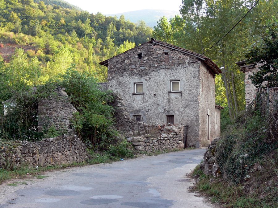
The GR-93 and other routes
The 17-kilometre section of the GR-93 connects Ezcaray and San Millán de la Cogolla. It passes through Turza and Pazuengos on its way to Lugar del Río (El Río). The section is estimated to take around five hours. The distance and estimated duration give you concrete points of reference for planning your day; check the current condition of the route before setting out. On the GR-93 in Lugar del Río, the Ermita del Carmen is on the right-hand side of the road.
Another described route leads from Lugar del Río towards Mostajo del río Cárdenas. Following this route, you reach the Urre recreational area 2,690 metres beyond La Eméndula. These place names help you situate this route without confusing it with the GR-93 section: for the GR-93, the connection between Ezcaray and San Millán de la Cogolla and the estimated duration are specified; on the other route, Urre and its location beyond La Eméndula are the reference points.
The ironworks and local heritage
The Ferrería de Lugar del Río, also known as El Infierno, represents local iron production. In the mid-19th century, iron was produced there using water, wood and iron ore. The area’s industrial history is therefore a different focus from the routes through Lugar del Río. During restoration, the structures of the ironworks were restored and the surrounding area was improved. Local residents and visitors are also given an explanation of how the industrial complex worked.
The architectural heritage also includes the 18th-century Iglesia de Nuestra Señora del Carmen. It is located in the Barrio Lugar del Río in the municipality of San Millán de la Cogolla. The Cueva del Santo in Lugar del Río is one of the selected stops on a tourist circuit in the municipality. Together, these names offer different points of reference as you explore the history and sights of Lugar del Río.
Terraces and surrounding landscape
Terraced fields, now abandoned, shape the landscape near Lugar del Río. Aulagas grow on the plots, while livestock also use the terraces as extensive grazing land. As a result, abandoned field terraces and their current use as pasture coexist in the surrounding area. These details describe the landscape near the destination, not a feature or amenity of any particular accommodation.
La Eméndula is another point of reference in the nearby area. The recreational area lies on the Río Cárdenas and includes riverside vegetation as well as Scots pines, oaks and beech trees. The described access route leads there after passing San Millán de la Cogolla and Lugar del Río. Local conditions can change; take this into account when planning your visit.
Festivities in honour of the Virgen del Carmen
The date given for the festivities in honour of the Virgen del Carmen is 16 July. The celebrations include preparations on the eve, a Mass and a procession. If you would like to plan your trip around this occasion, check in advance whether the festivities are taking place and when. This makes the date a specific point to consider in your plans without assuming that the event recurs every year.
For the broader travel overview: San Millán De La Cogolla.

