
Cerler: Ski Resort, Mountain Views and Village History
Accommodation in Cerler
The Aramón Cerler ski resort reaches an altitude of 2,630 m and has a skiable vertical drop of 1,130 m. It includes 72 runs, as well as a snow park, a boardercross course and a sledging run.
Winter
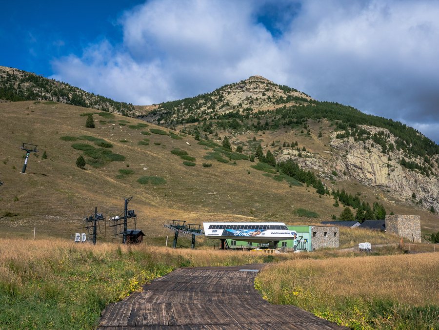
Skimo Cerler comprises four ski touring routes with ascent distances of between 1 and 4.6 km. The El Molino chairlift takes you to an altitude of over 2,000 m, where you can see the Maladeta, Posets, Perdiguero and Aneto peaks. The Rincón del Cielo viewpoint offers a 360-degree panorama of the Turbón massif.
Hiking
Short circular walks and longer ascents are available in different distances, walking times, elevation gains and difficulty levels; these details allow for a direct comparison of the routes described. The marked Ruta de las Tres Cascadas circular walk, which starts in Cerler, is less than 7 km long and follows a marked, paved path to the Ermita de San Pedro Mártir. Along this route, the Masearada, El Clotet and El Bom or Ardonés waterfalls can be viewed up close.
The Cerler 1,500 – Cota 2,000 walking trail leads from the base station of the ski resort to a natural viewpoint at Cota 2,000. The ascent takes 2 hours, the descent 1 hour and 45 minutes, and the route includes an elevation gain of 470 m. The hiking route to Pico Gallinero reaches 2,630 m and is listed as 7.5 km long, taking 3 hours and 30 minutes, with a difficulty level of 4 out of 5.
The Benasque–Cerler–Anciles–Benasque circular hike follows the PR-HU 27 and PR-HU 33 trails and is 9 km long. The Miradores de Cerler route takes 2 hours, is 4.5 km long, includes 375 m of ascent and has a difficulty level of 3 out of 5. The summer programme “Conviértete en montañero” offered guided excursions that started in Cerler 1500 and took the El Molino chairlift up to 2,030 m.
Cycling
The Blue Velvet – Bosques de Cerler mountain bike descent runs from the top station of the El Molino chairlift at 2,030 m to the resort car park at 1,500 m, overcoming around 500 m of elevation loss on forest tracks. The Redline – Bosques de Cerler mountain bike route also runs from 2,030 m to the resort car park at 1,500 m and follows technical forest tracks with 500 m of elevation loss.
The Puerto Ampriu road cycling route is 12 km long, referring to the one-way distance, and has an average gradient of 6.3%.
Culture
Cerler lies above the Valle de Benasque and offers views of the largest concentration of peaks over 3,000 m in the Pyrenees. The old town is centred around the parish church of San Lorenzo and is characterised by wrought ironwork, stone, wood and slate. Cerler’s historic village centre has been fully preserved.
Cerler’s origins have been documented since the 9th century. Casa Cornel is probably the oldest building in Cerler and was the former residence of Pedro Cornell, Bishop of Tarazona, in the 15th century.
Food and Drink
The Panorámico El Bosque restaurant is located at an altitude of over 2,000 m and serves homemade pizzas in a cosy mountain hut.
To the overview of the wider destination: Benasque.
More about the destination
Useful information for planning your trip:

