
Goworów: Hotels and Accommodation
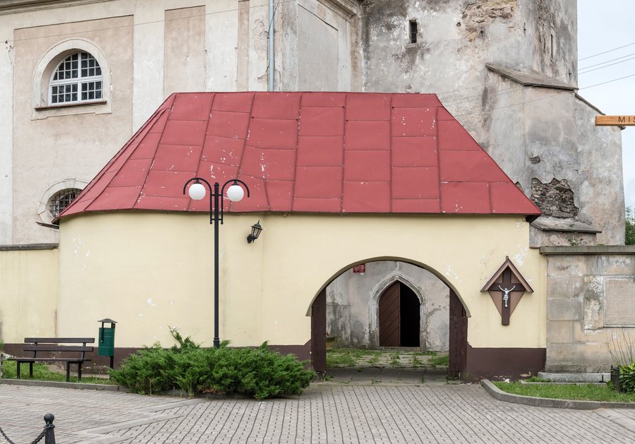
Goworów is a linear village at the foot of the Śnieżnik Massif, situated along the Goworówka stream. The village lies at an elevation of approximately 470 to 600 metres above sea level. At the same time, Goworów is considered both an agricultural and holiday-oriented village.
You would like to book a hotel in Goworów.
Nature
The immediate surroundings comprise extensive agricultural land. The wider area around the village is characterised by small-scale farming and forestry.
Wodospad Wilczki is located near Goworów. Urwista, Trójmorski Wierch and Hled'sebe are also situated in the surrounding area.
History
Goworów preserves historic buildings dating from the 18th and 19th centuries. These include a church, a manor complex and a water mill that was formerly used for weaving.
At the beginning of the 19th century, Goworów was a weaving settlement with more than 50 workshops and a textile market.
Geographical Location
District road 3233D runs through Goworów along the route Roztoki–Gajnik–Michałowice–Goworów–Szklarnia–Międzylesie.
The wider regional area around Goworów includes Trzebieszowice, Gorzanów - Pałac, Nový Hrad and Żelazno - Zamek.
For the overarching travel overview: Kłodzki.
Check prices, availability and amenities for your travel dates directly on Booking.com.
View accommodation and offersAdvertisement · Affiliate link to Booking.comFurther Destinations
Other places within the same destination:

