
Serrada: Mountain Trails, Fortress History and Futurism
Accommodation in Serrada
Hiking along historic trails
Serrada is located 5 km from Folgaria. The Forra del Lupo is approximately 5 kilometres long and is a trench built by the Austro-Hungarian army during the First World War. Information panels along the route explain events from the First World War. When planning, take into account the approximate length and the historical information provided along the route. The Forra del Lupo and the former military road represent two different types of historic trail.
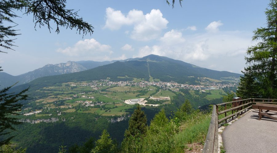
The easy SAT / E104 route connects Serrada with the summit of Monte Finonchio and Rifugio F.lli Filzi. It follows a comfortable unpaved former military road leading to the 1,589 m-high mountain summit. Rifugio F.lli Filzi is located slightly below the summit of Monte Finonchio. The SAT / E104 route initially passes through mixed woodland and then through spruce and larch forest. The easy rating and unpaved surface are factors to consider when planning the route up to the mountain summit.
The SAT / E137 trail begins in the village of Cogola, just beyond Serrada's square.
Dosso delle Somme Fortress
Forte Dosso delle Somme is an Austro-Hungarian fortress from the First World War (1914–1918). It was built between 1911 and 1913 to control the Borcola Pass on the national border and the Val di Terragnolo below it. Today, Forte Dosso delle Somme is an unguarded ruin. The interior cannot be visited, or should not be visited because of possible hazards. The visit should therefore be planned for the exterior of the ruin only.
From Serrada, you can reach Forte Dosso delle Somme on foot via the long trench system of the Forra del Lupo, via the former military road from the village of Ròccolo, or via SAT Trail 136. SAT Trail 136 branches off at Serrada's square and reaches the nearby Rifugio Baita Tonda.
Futurist Traces in the Village
The Passeggiata Futurista leads through the lanes and hidden corners of Serrada to murals reproducing works by Fortunato Depero. The route begins at Serrada's square behind the church and runs along Via C. Pavese to Maso Filzi. The Passeggiata Futurista then continues along Via F. Depero and past Maso Bioncheri before returning to the church and Serrada's square.
The Serrada Futurista summer programme takes place every year in honour of the Futurist painter Fortunato Depero. The connection with Depero thus extends from the murals along the Passeggiata Futurista to the annual Serrada Futurista summer programme.
Getting There and Local References
Serrada is served by Trentino Trasporti. In summer, Serrada is also connected to Folgaria by a tourist shuttle. Serrada's square and the church serve as fixed reference points: SAT / E137 starts in Cogola, SAT Trail 136 branches off at Serrada's square, and the Passeggiata begins behind the church.
Other places: Terlago, Siror, Pergine Valsugana, Tassullo, Vermiglio, Lagolo, Centa San Nicolò, Garniga Terme
To the overarching travel overview: Trentino-South Tyrol.

