
Sarche: Landscape, History and Climbing Crags
Accommodation in Sarche
Sarche on the Sarca
Sarche lies on the alluvial fan of the Sarca River. The town is also located in the mild and windy Mediterranean microclimatic zone of the Toblino basin, where olives are cultivated. In the Mediterranean microclimatic zone around Sarche, there are stands of holm oaks. Thus, river landscapes, Mediterranean vegetation, and a distinctive settlement history come together here.
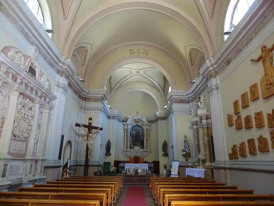 File:Sarche, chiesa della Madonna del Carmine - Interno 01.jpg
Photo: Syrio via Wikimedia Commons, CC BY-SA 4.0
File:Sarche, chiesa della Madonna del Carmine - Interno 01.jpg
Photo: Syrio via Wikimedia Commons, CC BY-SA 4.0
Sarche developed after intensive land reclamation following the settlement of the area in the 16th century. The town’s development can therefore also be traced through the use of the land. The characteristic farmhouses of Sarche date from the 18th century and are attributed to Prince-Bishop Cristoforo Sizzo. The massive walls along the Sarca were also built under Prince-Bishop Cristoforo Sizzo. The walls stand along the Sarca and are therefore directly connected with the river, on whose alluvial fan Sarche lies.
History and Buildings
The origins of Castel Toblino date back to the 11th century. At that time, the castle had a military and strategic function along the road to the Giudicarie. The building of Castel Toblino visible today dates from the 16th century and is the result of modernization work commissioned by the bishops of Trento, Cles, and Madruzzo.
The 17th-century Villa Vescovile in Sarche is surrounded by a garden and a small park. The Madonna del Carmelo Church in Sarche was consecrated on 12 October 1889. The Madonna del Carmelo Church houses the monument to the Conti d’Arco from 1595, attributed to the Carneri workshop. The 1595 monument predates the 1889 consecration date of the church.
Climbing and Cycling
The Rino Pisetta Via Ferrata requires basic climbing technique and athletic training. The Rino Pisetta Via Ferrata was created in 1982 at the far right edge of the southeast face and dedicated to the mountaineer Rino Pisetta. The Falesia di Sarche consists of three small sectors, approximately 50 m apart, with vertical, technical, and endurance climbing on heavily featured, rough limestone. The approximate distance of 50 m between the sectors can serve as a guide when planning the transitions between the climbing areas. The Falesia di Sarche can be reached from the forest road in approximately five minutes on foot.
The protected section of the Torbole–Sarche cycle and footpath ends in Sarche. The Torbole–Sarche cycle path follows the course of the Sarca River. For route planning, Sarche marks the endpoint of the protected section; the path remains intended for the two uses of cycling and walking.
Public Transport Connection
Sarche is served by regional bus route 205 on the Riva del Garda–Sarche–Trento route. Regional bus route 205 provides a connection between Riva del Garda, Sarche, and Trento.
Further destinations: Ton, Tonadico, Ischia Di Pergine, Vigolo Baselga, Calliano, Mezzano, Coredo, Vason
To the higher-level travel overview: Trentino–South Tyrol.

