
Etgert: Hotels and Accommodation
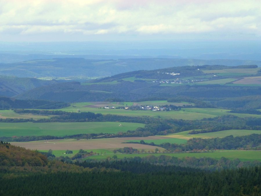 File:Blick vom Erbeskopf über Etgert nach Horath - panoramio.jpg
Photo: giggel via Wikimedia Commons, CC BY 3.0
File:Blick vom Erbeskopf über Etgert nach Horath - panoramio.jpg
Photo: giggel via Wikimedia Commons, CC BY 3.0
Etgert is located in the Bernkastel-Wittlich region. The Erbeskopf rises to 816 meters there, offering opportunities for hiking and winter sports facilities.
You can specifically search for accommodation for a stay in Etgert.
Geographical Location
The Bernkastel-Wittlich region connects the volcanic Eifel, the Moselle Valley and the forested Hunsrück. It includes ten nature reserves and six landscape conservation areas. Swimming, cycling, hiking, water skiing, hang gliding and winter sports are promoted there.
At the Erbeskopf, the National Park Gate provides visitors with information about nature and the environment.
Trails and Landscape
Massignsmühle is located approximately 1 kilometer from the Hunsrückhöhenstraße B 327 and has a direct connection to the Etgert circular trail. Massingsmühle is considered a campsite in a natural Hunsrück valley crossed by a rushing mountain stream.
The area around Massingsmühle is connected to the Saar-Hunsrück-Steig premium hiking trail, the Hölzbach Gorge and the Ausonius circular trail.
The Hunolstein Gorge Tour has no direct connection to public transportation. It is a 10.9-kilometer circular hike in the Hunsrück featuring a gorge, varied forests, meadow valleys and views of the surrounding area. The route runs through the Drohnhänge FFH protected area.
The campsite at Massingsmühle is not reached via the village of Etgert. Visitor access to Massingsmühle from the B 327 leads via an approximately 1.1-kilometer access road.
History and Culture
Etgert has belonged to the Mark Thalfang since the 12th century. The red lion in the coat of arms represents the Wild- and Rhinegraves. The oak leaves refer to an old oak tree at the entrance to the village and, at the same time, to the oak forests surrounding the district's farmland.
The Etgertersägemühle sawmill, which is listed as a cultural monument, lies north of Etgert.
The Ausonius Trail follows the traces of a Roman connecting road and passes numerous Roman archaeological finds. It is usually hiked in six stages.
Further local pages: Malborn, Dhronecken, Merschbach, Gräfendhron, Lückenburg, Deuselbach.
For the higher-level travel overview: Thalfang Am Erbeskopf.
Check prices, availability and amenities for your travel dates directly at Booking.com.
View accommodation and offersAdvertisement · Affiliate link to Booking.com
