
Birstein – Castle, Church and Hiking Trails
Accommodation in Birstein
You can plan a stay in Birstein around specific interests: architectural history, hiking and cycling. The hiking trails vary in length and difficulty, making them easy to compare. The cycling route offers a different scale, while the church, castle and market provide a cultural connection to the town.
Church, Castle and Market Tradition
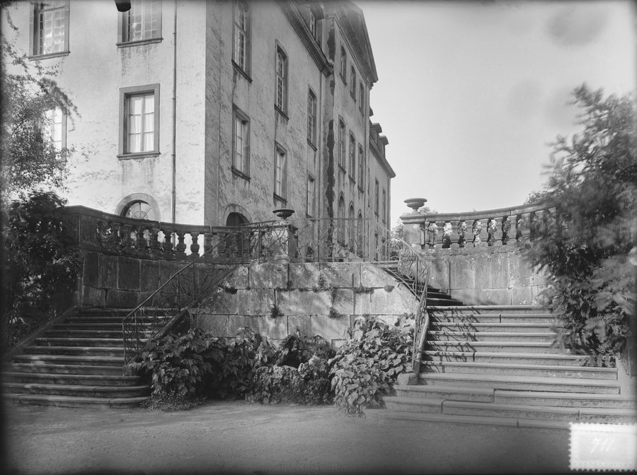
The Evangelical Church in Birstein was inaugurated on 9 April 1914 and built in the Art Nouveau style. The date of its inauguration establishes the building’s place in time, while its style provides an architectural reference point. Birstein Castle stands on a steep basalt rock above the town and remains the residence of the princely House of Isenburg. The church and castle therefore represent different aspects: the church is defined by its inauguration and Art Nouveau style, while the castle is distinguished by its position above the town and its function as a residence. If you are interested in architectural history, both buildings offer different points of interest.
The traditional Birstein Market takes place on the first weekend in September. Regional products and crafts are at its heart. The market therefore brings different themes to the fore than the buildings do. If you would like to plan your stay around it, keep the first weekend in September in mind and check the dates of the events.
Hiking Trails by Length and Difficulty
Four hiking trails can be compared by their distance and difficulty rating. At 8.5 km, the S3 – Waschweiher Weg is the shortest of the trails listed and is rated easy. The B1 – Freihölzerweiher Weg is 10.3 km long and is also rated easy. The K4 – Rundwanderweg KirchMausHausen is 9.4 km long but is rated moderate. Length is therefore not the only factor to consider: the K4 has a different difficulty rating from the three routes rated easy.
The B1 starts and ends at the Bürgerzentrum in Birstein. The route heads towards Hettersroth and Freihölzer Weiher, loops around the pond and continues along field and farm tracks. On the return, a small loop leads towards Fischborn and back to Birstein. Thus, the route combines its 10.3 km length with a described loop around the pond.
At 13.7 km, the R2 – Der Rombachs Weg is the longest of the four trails and is also rated easy. It starts and ends at the village community centre in Unterreichenbach. Along the way, the route passes the “Vogelsberger Dom,” the sports field and Rombachsweiher, then follows the B 276 to the Birstein district of Fischborn. Compared with the shorter S3 or B1, the R2 is a longer hiking option, but remains easy according to its rating. Seasonal conditions can affect how suitable the trails are; check conditions before your hike.
Cycling Along a Former Railway Line
The 35 km Vogelsberger Südbahnradweg follows the former Vogelsberger Südbahn railway line and runs from Wächtersbach via Brachttal to Birstein. Its length puts it on a different scale from the hiking trails listed here; its route also connects several towns. This makes it a different cycling option from the hiking trails, which are described as individual routes in Birstein. Weather and trail maintenance can affect cycling conditions. If you include the cycling route in your plans, check conditions before setting off.
Discover more destinations: Kirchbracht, Bad Soden-Salmünster, Flörsbachtal, Bad Orb, Sinntal, Jossgrund.
Back to the regional travel overview: Main-Kinzig-Kreis.

