
Münsing: Nordic Walking and Water Sports
Accommodation in Münsing
Explore Münsing through specific tours and water sports activities. Routes 19 to 23 of the Nordic Walking Park start at the Münsing sports facilities; they vary in length, elevation gain, duration, and difficulty. This lets you compare several clearly quantified routes when planning your day. In addition, the WasserSportCenter Starnberger See in Münsing offers catamaran sailing, windsurfing, and stand-up paddleboarding. The local leisure map also includes maps of the individual hamlets in the municipality, sights, and some hiking and cycling routes.
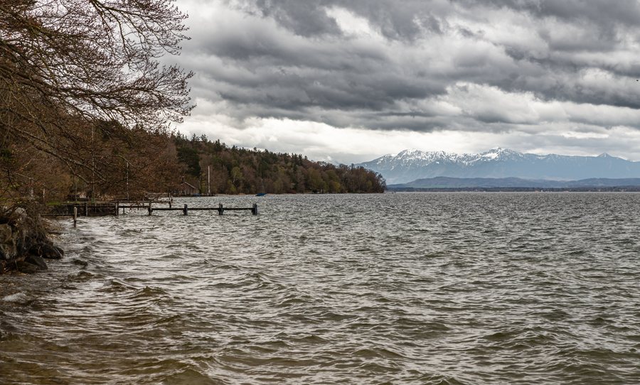 File:Münsing Starnberger See 002 2023 04 24.jpg
Photo: Friedrich Haag via Wikimedia Commons, CC BY-SA 4.0
Compare Nordic walking routes by distance and duration
At 8.1 kilometers, Route 23 – See Route is the easiest of the five routes described here. It has 59 meters of elevation gain, and the stated duration is 1 hour 45 minutes. Route 19 – Vital Fountain Route is only slightly shorter at 8 kilometers, and takes a similar 1 hour 50 minutes. It has 112 meters of elevation gain and is rated moderate. The two routes therefore differ in difficulty, even though their distances and times are close.
For a longer route, choose one of the moderate Routes 20 and 21. Route 20 – Scenic View or Adventure Route is 12.6 kilometers long, has 178 meters of elevation gain, and takes 3 hours. Route 21 – Castle and Church Route is 13.4 kilometers long with 191 meters of elevation gain; its stated duration is 3 hours 10 minutes. The difference between the two: 0.8 kilometers, 13 meters of elevation gain, and ten minutes.
The longest route, and the only one of these five rated difficult, is Route 22 – Ambach Route. Its key figures are 16 kilometers, 231 meters of elevation gain, and 4 hours 32 minutes. All five routes start at the Münsing sports facilities. For comparison, it helps to consider several figures at once: the difficulty, elevation gain, and stated duration each show a different aspect of the time required for the route.
Water sports and getting your bearings in Münsing
The WasserSportCenter Starnberger See in Münsing offers catamaran sailing, windsurfing, and stand-up paddleboarding. If you plan to take part in one of these activities, check the availability of courses and rentals before your trip. This will help you tailor your plans to the activities available during your stay.
To help you find your way around the municipality, the local leisure map includes maps of the individual hamlets, sights, and some hiking and cycling routes. This information complements the Nordic walking route figures with an overview of the municipality. If you are looking for accommodation in Münsing, you can take your planned activities and the time you have set aside for them into account when planning your stay.
More routes in the wider destination of Bad Tölz-Wolfratshausen
The wider destination of Bad Tölz-Wolfratshausen also offers guidance for planning hikes. The Heilklimapark Tölzer Land comprises 37 routes on a network of more than 340 kilometers between Bad Heilbrunn, Bad Tölz, Kochel am See, Wackersberg, and Lenggries. As the number of routes may change, check it again before making your current plans. The Tölzer Land also has six signposted Nordic walking routes ranging from 2 to 8.6 kilometers in length. These regional details provide a broader overview; the specific figures for Routes 19 to 23 refer to Münsing.
Discover more destinations: Kochel am See, Egling, Geretsried, Wolfratshausen, Benediktbeuern, Jachenau, Bad Tölz, Schlehdorf.
Back to the wider travel overview: Bad Tölz-Wolfratshausen.

