
Nesselwang: Hotels and Accommodations
Accommodation in Nesselwang
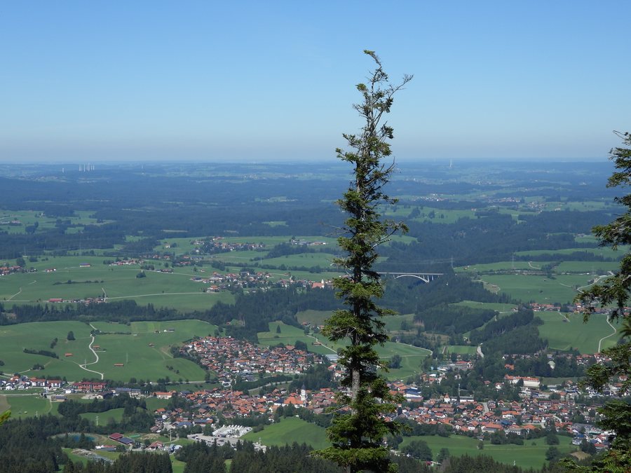 Wanderung - Nesselwang - Maria-Trost-Weg - Kappeleralp - Wurzelsteig - Wasserfallweg - Nesselwang 84
Photo: Molgreen via Source, CC BY-SA 4.0
Wanderung - Nesselwang - Maria-Trost-Weg - Kappeleralp - Wurzelsteig - Wasserfallweg - Nesselwang 84
Photo: Molgreen via Source, CC BY-SA 4.0
Nesselwang lies at an elevation of about 900 meters above sea level at the foot of the Alpspitz and Edelsberg, near the upper Wertach River and Grüntensee. The location connects the town with prominent mountains, a river course, and a lake in the nearby area.
For Nesselwang, finding and booking a hotel can be part of planning your stay.
Geographical Location
Nesselwang is a market town in the Ostallgäu district of Bavarian Swabia. The town is centrally located in the Allgäu region in southwestern Bavaria.
Landscape
Kienberg, Holzenberg, Vilsfall, and Schranzschrofen are located in the area surrounding Nesselwang. Together with the elevation at the foot of the Alpspitz and Edelsberg and the proximity to the upper Wertach River and Grüntensee, this creates a geographical setting between mountain and waterscape.
Culture and History
The wider regional surroundings of Nesselwang include Hohenschwangau Castle, Kempten Abbey, Hugofels Castle Ruins, and the Schaller Chapel.
The wider regional surroundings have historical Roman connections through the Via Claudia. The Via Claudia was established as a Roman military road in AD 46/47.
Wider Surroundings
Kempten, Füssen, Marktoberdorf, the border area of the Tannheim Valley, and the regional excursion destinations of Neuschwanstein and Hohenschwangau are considered to be approximately 20 kilometers from Nesselwang.
For the higher-level travel overview: Ostallgäu.
More Destinations
More places within the same destination:

