
Sailauf: Hiking Trails, Nature and Local History
Accommodation in Sailauf
Sailauf can be explored through three specific themes: the signposted trails, the landscape along the stream and among the orchards, and historic sites. The local information relates to Sailauf; the wider Main-Spessart area is explicitly distinguished from it below.
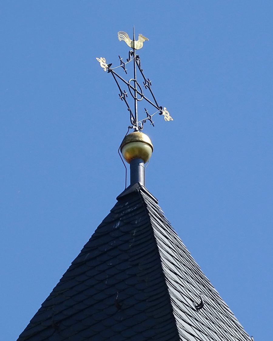 Der romanische Wehrturm der St.-Vitus-Kirche gehört zu den markanten historischen Merkmalen Sailaufs.
Photo: Prof. emeritus Hans Schneider (Geyersberg) via Wikimedia Commons, CC BY 3.0
Hiking Trails and Landscape
There are signposted hiking trails and twelve hiking tours around Sailauf. The numbered trails can be walked in either direction, giving you a choice of which way to go when planning your tour. The hiking tours around Sailauf can be reached by regularly scheduled public transport from Hösbach railway station or from Aschaffenburg. Check current timetables and trail conditions before setting out so you can plan your journey and day accordingly.
Below the village, the Sailauf stream flows through a natural landscape, with numerous meanders and pronounced slip-off and cut banks. Meanders describe the winding course of a stream; slip-off and cut banks refer to different forms of riverbank. Sailauf also has extensive orchards. In spring, the characteristic laughter-like call of the green woodpecker can be heard in the orchards. These orchards thus add a clear seasonal point of interest to the stream landscape.
Church, Chapel and Local History
The Church of St. Vitus and the cemetery in Sailauf date back to the 11th century. The late-Baroque design of the present church dates to 1789; it is probably the fourth church to have stood on this site. The medieval origins of the church and cemetery site thus sit alongside the later form of the present building.
The Forest Chapel was built in 1785 and belonged to a hermitage. From 1730, monks there taught children from Rottenberg and the wider parish of Sailauf as school hermits. This history links religious architecture with the monks’ former educational role.
Putting Main-Spessart in Regional Context
The wider travel destination of Main-Spessart offers a broader hiking network alongside the local trails. The Main Hiking Trail is around 500 kilometres long; just under 100 kilometres of it run through the Main-Spessart district, connecting Karlstadt, Gemünden a.Main, Lohr a.Main, Rothenfels and Marktheidenfeld. The Spessart Trails bear the “Wanderbares Deutschland” quality seal. In Spessart Nature Park, the options range from short walks to hikes lasting several days. This information relates to Main-Spessart as a wider travel destination and does not describe Sailauf’s trails or landscape features.
For your trip planning, you can distinguish between the hiking tours around Sailauf and the regional trails in Main-Spessart. Use the local information if you want to focus on Sailauf’s nature, hiking trails and local history; include the regional routes if you have the wider Main-Spessart destination in mind.
Discover more destinations: Waldaschaff, Lohr am Main, Weibersbrunn, Rieneck, Frammersbach, Gemünden am Main, Obersinn, Neuhütten.
Go to the main travel overview: Main-Spessart.

