
Geigant: Discover Hiking and Local History
Accommodation in Geigant
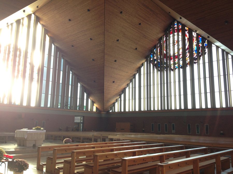
If you choose Geigant as a destination for hiking and local history, you can plan among different route formats and cultural points of interest. A moderately difficult circular hiking trail leads directly from Geigant to several viewpoints. The surrounding area also offers Bleschenberg with its observation tower, chapel, and medieval mine, as well as historic traces within the village.
Hiking on Different Route Formats
The Wm 14 circular hiking trail, known as the Geiganter Zwirenzelweg, starts and ends at the bus stop or school in Geigant. The moderately difficult route is 5.32 km long; its stated duration is 2:00 hours. The trail leads past the cemetery, the Zwirenzel viewing rock, and the Zillendorfer Blick viewpoint. This information helps you classify the tour as a clearly defined segment in your daily itinerary.
In addition, a marked circular trail leads from Geigant via Zwirenzel and Machtesberg to Kathlfelsen and on to Arberblick. It returns to Geigant via Roßfhof. For your planning, this means you can distinguish between a shorter circular hike with a precisely stated duration and a longer marked route with several named landscape features. Which route is more suitable depends on the desired length and the focus of the particular day.
Observation Tower and Historic Destinations at Bleschenberg
In the area around Geigant, you can reach the observation tower on Bleschenberg from Waldmünchen via State Road 2146 in the direction of Cham. Shortly before Geigant, turn right and follow the signs to Sinzendorf. Bleschenberg is also home to the Salve Regina Chapel and the exposed medieval mine known as “Schrazelloch.” These destinations complement your hiking plans with a viewpoint, a religious site, and a historic point of interest.
If you are planning the Geiganter Zwirenzelweg, a parking area in front of the church in Geigant is also mentioned as a point of orientation. When choosing your accommodation, it makes sense to consider the planned destinations and the respective daily itinerary separately rather than assuming a single distance or a shared circular route.
Village Character and Traces of the Past
The parish church of St. Bartholomew marks the architectural center of the village of Geigant and shapes its appearance. In front of the new church stands a partially preserved epitaph of the Kagerer family, who succeeded the previous lineage. In addition, archaeological finds from the Middle Ages and the early modern period in the area of the former castle and the former Church of St. Bartholomew have been recorded as a protected monument. Thus, alongside its trails, Geigant also offers points of interest for visitors interested in architectural history, monuments, and historic village structures.
Other Trails in Waldmünchen
Waldmünchen has 20 local hiking trails as well as two signposted and certified terrain therapy trails. The wider trail network includes the Goldsteig, Pandurensteig, Nurtschweg, Upper Palatinate Castles Trail, and European long-distance hiking trail E6. These names represent additional travel-planning options if you do not want to limit your stay to a single circular hike. In each case, check which route matches your desired daily distance and which destinations you actually want to connect.
Choosing Accommodation Based on Your Travel Plans
When searching for accommodation in Geigant, you can first decide whether short local walks, the described 5.32-km loop, or destinations at Bleschenberg should be the focus. Those who prefer a manageable hike with named viewpoints can consider Wm 14 with its stated duration of 2:00 hours. For days focused on culture, the parish church of St. Bartholomew, the epitaph, and the recorded archaeological finds offer separate points of orientation. If you would also like to compare accommodation at another destination, you can include Ulrichsgrün in your search.
For the overall travel overview: Waldmünchen.

