
Lam: Hotels and accommodations
Accommodation in Lam
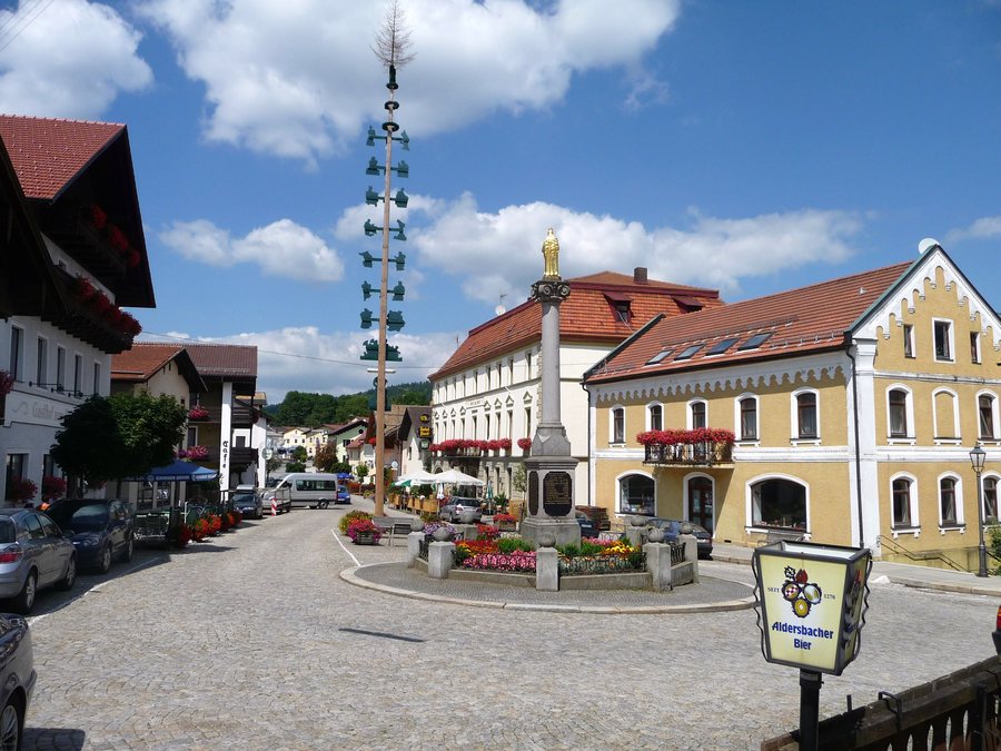
Geographical location
Lam is located near the Czech border in the Bavarian Forest, in the narrow valley of the Lamer Winkel. Together with the municipalities of Arrach and Lohberg, Lam belongs to this valley.
Booking a hotel in Lam can be part of your personal travel planning.
Mountains and nature
The Lamer Winkel is bordered by the mountains Arber, Osser, Kaitersberg and Hoher Bogen; the Weiße Regen river flows through the valley. The Großer Osser and the Kronwithöhe are located near Lam. The surrounding area also includes the Mühlriegel and Jägerhübel.
Lam is connected to the Upper Bavarian Forest Nature Park. Its landscape includes forests, moors, floodplains and peaks exceeding 1,000 metres in elevation. The Lamer Winkel is regarded as an area with an extensive network of hiking trails, including routes to the Großer Arber, the Osser and eight peaks over 1,000 metres.
In the wider regional surroundings of Lam, the nature park area includes quiet paths along river valleys, opportunities for swimming in lakes or natural pools, boat trips on the Regen, as well as routes for cycling and mountain biking.
Culture and history
Lam has a historical tradition of silver and copper mining, documented since 1463. In 1522, the town was granted the status of a mining town.
In the wider regional surroundings of Lam are the ruins of Neunussberg Castle and Chammünster with the parish church of the Assumption of Mary.
Other places: Arnschwang, Falkenstein, Eschlkam, Hohenwarth, Furth im Wald, Bad Kötzting, Rimbach, Grafenwiesen.
To the overarching travel overview: Cham.

