
Hirschbach: Hotels and Accommodation
Accommodation in Hirschbach
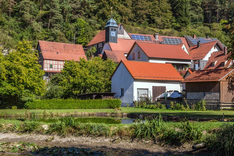
Geographical setting
Hirschbach is a municipality in the Amberg-Sulzbach district of Bavaria and is located in the Franconian Switzerland–Franconian Jura Nature Park. The village lies in the Hirschbach valley at an altitude of approximately 440 to 600 metres above sea level.
There are more than 59 different climbing routes on the Mittelbergwand.
Nature
A hiking route begins at Hirschbach village square and features rocks, caves and viewpoints in the Upper Palatinate Bavarian Jura.
Trails
The Höhenglücksteig begins on the southwestern side of the Schwarzer Brand rock massif in the Hirschbach valley. A children's via ferrata facility is located shortly before the start. The Höhenglücksteig can also be bypassed without using its cable or protective equipment.
The Norissteig starts in Fischbrunn and ends in Mittelhirschbach. It is approximately six kilometres long.
The Norissteig is secured with steel pins and steel cables and does not exceed difficulty level 1. It should not be attempted without protective equipment.
Approximately 1.5 hours of walking time are planned for the Norissteig; climbing takes around 3.5 to 4.5 hours.
Information
Lighting fires is prohibited all year round. Entering caves along the route is not permitted from 1 October to 31 March.
If you are considering Hirschbach as a destination for a stay, you will want to find accommodation there.
Back to the higher-level travel overview: Königstein.

