
Strengen: Townscape, Hiking and Cultural History
Accommodation in Strengen
Strengen combines a townscape that is still relatively well preserved with cultural and historic buildings and regional outdoor activities. The village lies between Landeck and the Arlberg on an old Roman road. The two outdoor activities also differ in how far ahead they can be planned: for the hike to Dawinalpe, the route, approximate duration and difficulty level provide guidance for the tour; operation of the 1 km sledding run depends on snow and weather conditions.
Townscape and Building History
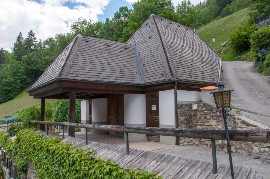
The townscape brings together Romanesque-influenced stone houses and Bavarian timber houses, and is still relatively well preserved. Stone and timber construction represent two distinct architectural influences. For anyone looking at Strengen through the lens of its building history, this means there is more to see than a single building: the mix itself shapes the townscape described here.
The Rosanna Bridge brings together specific historical and structural details. It was built in 1764 as a combined truss and suspended strut bridge and is a protected monument. Its year of construction, bridge type and protected status offer different points of reference for understanding its cultural and historical significance.
The parish church of St. Martin and the Maria-Hilf pilgrimage chapel also add their own dates. St. Martin dates from the 14th century, while the chapel was built in 1957. Together with the construction date of the Rosanna Bridge, these dates span from the 14th century to the middle of the 20th century. The buildings thus represent different historical periods.
Hike to Dawinalpe
The hike to Dawinalpe starts at the church in Strengen. From there, it heads east along the village road to the hamlet of Hof; the route then follows trail no. 1. The starting point, direction, intermediate destination and trail number provide a clear sequence to help you navigate the hike described here.
The tour is rated moderate, takes about two hours and leads into the Lechtal Alps, reaching an altitude of 1,819 m. The approximate duration, difficulty level and altitude reached complement one another, but describe different aspects of the tour. Trail conditions can change, so check them before setting out.
Nature and Seasonal Sledding
Egger Weiher above Strengen is a naturally formed body of water. Walks through flower-filled high meadows also offer a way to experience the landscape; the meadows may look different depending on the season. These natural features add another perspective on Strengen alongside its buildings: the pond is a named landmark, while the high meadows are described as a destination for a walk.
There is also a 1 km sledding run near Egger Weiher. Its operation depends on snow and weather conditions. If you plan to go sledding, check conditions in advance and bear in mind that the run is seasonal.
Discover more destinations: Langesthei, Piller, Ischgl, Prutz, Sankt Christoph Am Arlberg, Feichten Im Kaunertal, Kaunertal, Fendels.
See the regional travel overview: Landeck District.

