
Reitlehen and the Routes into the Hollersbach Valley
Accommodation in Reitlehen
Reitlehen offers specific routes and meeting points to help you plan your trip. At the entrance to the Hollersbach Valley near Reitlehen 68, the stream nature trail begins at the Seestube car park. There is also a route description to the Senninger Alm and access to the “Larmkogel 3017m from Hollersbach” route, which runs through the Reitlehen district.
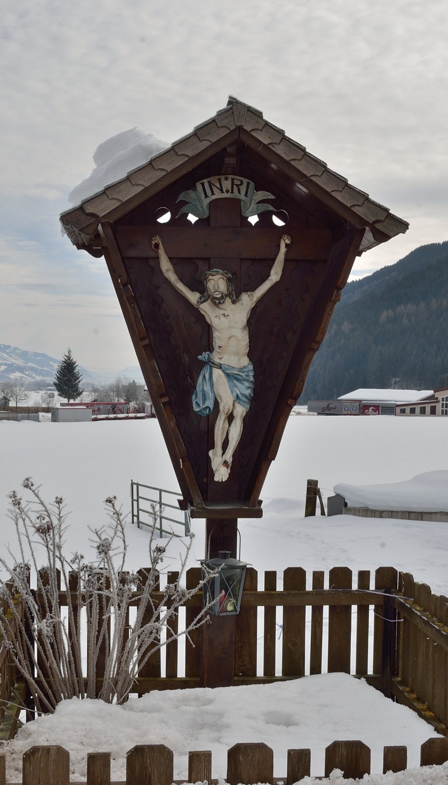 File:Crucifix near Reitlehen, Hollersbach.jpg
Photo: Herzi Pinki via Wikimedia Commons, CC-BY-SA-4.0
The Stream Nature Trail and Destinations in the Valley
The stream nature trail begins at the Seestube car park and follows the Hollersbach stream to the Wirtsalm. The starting point, route and destination provide clear geographical orientation: the Hollersbach accompanies the route, and the Wirtsalm marks its end. You can take these two points of reference into account when planning your stay. A route description also mentions the stream nature trail to the Senninger Alm, which runs along historic stone walls. These walls give the landscape a different character from the stream. When choosing, therefore, it is worth considering not only the destination names but also the landscape features mentioned for each route: the water along the trail to the Wirtsalm, and the historic stone walls along the way to the Senninger Alm. As you plan your tours, you can consider which of these specific features appeals to you most.
Getting Your Bearings on the Larmkogel Route
The “Larmkogel 3017m from Hollersbach” route is accessed via the Reitlehen district, heading south through the Hollersbach Valley to the Seestube inn. Reitlehen is therefore part of the route access described here, and the Seestube inn is named as the destination. This differs from the description of the stream nature trail, which starts at the Seestube car park and leads to the Wirtsalm. When planning, take care to distinguish between the names and destinations. Road and parking conditions may change. If you are driving to a route, check these conditions in advance.
The Landscape of the Hollersbach Valley
The wider Hollersbach Valley features clear mountain streams, waterfalls, mountain lakes, working alpine pastures and mountain huts. Its landscape ranges from flowing water and waterfalls to mountain lakes and working alpine pastures. Mountain huts are also part of this description of the valley. This gives you a broader sense of the landscape surrounding the stream nature trail and other named destinations, without assigning every feature to a single route. These different points of reference may also play a role in choosing accommodation for your trip.
Winter Experiences and Seasonal Planning
During the programme period from 31 December 2025 to 1 April 2026, the car park at Reitlehen 41 served as the meeting point for the Hollersbach Valley winter experience. The excursion is associated with snow-covered mountain meadows, forests coated in hoarfrost, and sparkling, frozen streams. These landscape impressions give the winter experience its own seasonal character. The stated period applies to this programme and is not an indication of future dates. If you are planning a winter stay at a later date, check whether new dates and meeting points have been announced. This will help you plan your trip around the activities actually scheduled, rather than treating dates from a previous programme as current.
The routes, landscape features and seasonal meeting points described here offer different points of reference for a stay in Reitlehen.
Discover more destinations: Wald im Pinzgau, Rain, Mittersill, Bruck an der Großglocknerstraße, Maishofen, Uttendorf, Kaprun, Neukirchen am Großvenediger
Return to the regional travel overview: Zell am See District (Pinzgau).

