
Bansko Ski Area: Ski Holidays in the Pirin Mountains
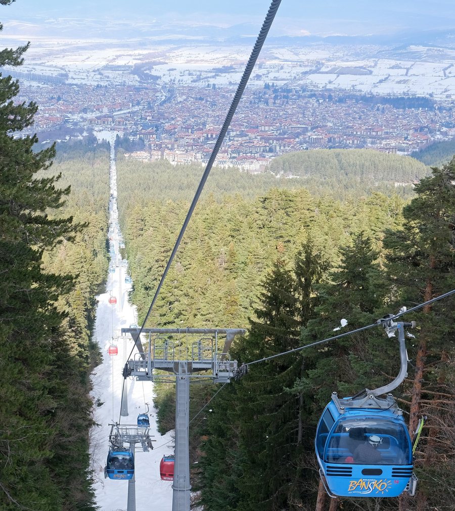 Skilift und verschneite Pisten in Bansko im Pirin-Gebirge
Photo: kallerna
Key facts about the area
- The gondola starts in Bansko and ends 6,233 metres later at the mountain station in the ski area.
- The gondola connects to several runs, making it the shared access route from town.
- The Kolarski six-seater serves runs 1, 7, 8 and 9.
- The Mosta four-seater chairlift connects runs 5, 10 and 12; the same numbers are also listed for Shiligarnik.
- Together, Banderiza 1 and 2 serve runs 2, 3, 4, 6, 9 and 11.
- Runs 15 and 16 are located at Chalin Valog; Todorka serves runs 2, 3 and 4.
How the ski areas differ
In Bansko, the gondola takes skiers from town to the higher-altitude ski area on the Pirin Mountains. At the top, access is distributed among several chairlifts and drag lifts. Kolarski serves run 1 and runs 7 to 9. Skiers there are therefore in a different numbered area from Mosta and Shiligarnik, both of which serve runs 5, 10 and 12. This shared assignment also shows that several lifts provide access to the same ski area.
Todorka is one of the listed chairlifts serving runs 2, 3 and 4; Plato and Banderiza 2 also serve parts of this group. Banderiza 1 provides additional access to runs 4, 6 and 9. At Chalin Valog, the listed connections focus on runs 15 and 16. These assignments make it easier to read the map by area rather than by lift name alone.
Plan your ski day from the starting point
The shared starting point is the gondola in Bansko. When choosing accommodation, the actual connection to the gondola is therefore important; at the top, your preferred combination of runs determines which lift to take next. Groups can agree on an area as a meeting point in advance and choose an alternative in case they split up. The numbers on the lift map make it easier to coordinate and help avoid confusing a lift name with a particular run.
For help finding your way around, use the piste map and signposting; piste types and difficulty levels explain how difficulty is indicated. General piste rules apply throughout the area. Your choice should suit your ability and the facilities operating at the time. Lift and piste status can change; the operator’s lift and piste overview is the direct resource for up-to-date planning.
