
Finding your way around a ski area: piste maps, signs and meeting points
A piste map shows how lifts, runs and connections fit together. Checking your location, destination and return route before setting off can help you avoid detours and unexpectedly difficult sections.
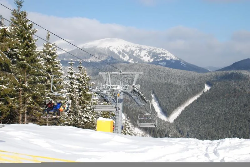 Zwei Skifahrer sitzen in einem Sessellift über einem verschneiten Wald und Berggebiet.
Photo: Olga Buko
Zwei Skifahrer sitzen in einem Sessellift über einem verschneiten Wald und Berggebiet.
Photo: Olga Buko
Find your location and destination on the map
Start by orienting yourself using an easily recognisable landmark, such as a valley station, mountain station or distinctive mountain hut. Trace your intended route to your destination and check whether the connection is open. Pay attention to run numbers, direction arrows, elevation information and the legend for pistes, ski routes and closed areas.
Use the signs along the way
At junctions, confirm your direction using the signs rather than relying only on your memory of the map. If a marker is missing or the situation is unclear, stop somewhere safe and clearly visible, and ask a member of staff. Follow closures and current notices, even if another route appears shorter on the map.
Plan meeting points and your return route
Agree on a meeting point away from the run where everyone can find their bearings. Choose a second meeting point in case the group gets separated at a junction. Before the final section, check that the route back to your accommodation, the car park or the valley station is still open and suitable for everyone.
Take the weather and time of day into account
Fog, snowfall, changing light and tiredness can make it harder to find your way. Allow enough time for breaks and the return journey, and do not rely solely on a mobile phone or GPS. The ski area’s markers and notices should always take precedence. More information on piste markings and slope safety can help you plan your route.
The FIS Rules for Conduct for Skiers and Snowboarders set out basic rules of behaviour, including showing consideration for others and stopping safely. Also follow current local signs and closures.
Frequently asked questions
When should I check the piste map?
Before your first run, and again if the weather, visibility or open runs change.
What makes a meeting point safe?
A clearly identifiable spot at the side of the run that is easy to see and not in the flow of traffic at a junction or lift exit.
What should I do if a route is closed?
Follow the closure and choose an open route back. If anything is unclear, ask a member of staff.
