
Geographical Location
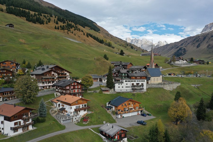
Sankt Antönien is located in the St. Antönien Valley, a northern side valley of the Prättigau. Geographically, the village is associated with Luzein and Prättigau/Davos in Graubünden, Switzerland.
You would like to book a hotel in Sankt Antönien.
Mountain Landscape
The area of St. Antönien includes the upper section of the Partnun Valley and the Gafier Valley. To the north and east, it is bordered by the Rätikon ridge along the Austrian border.
The surrounding Rätikon mountain range includes Sulzfluh, Schijenflue, and Madrisahorn; Madrisahorn is considered the highest point of the municipality.
Hasenflüeli and Riedkopf are located near Sankt Antönien. Marchspitze and Frygebirg are situated in the surrounding area.
Culture and Surroundings
The name of the village and the local heraldic symbolism are associated with Saint Abbot Anthony, who is considered the patron saint of the church.
The wider regional surroundings of Sankt Antönien include Falkenstein Castle ruins, Rosenegg, the Chur Animal and Leisure Park, and Nägelehötta.
Getting Around and Regional Cuisine
An ascent from St. Antönien reaches the hamlet of Sunnistafel and the area known as “Murmeltierland.”
Bündner Nusstorte is considered a regional specialty associated with Graubünden.

