
Kopaniec: Heritage, Trails and Views
Accommodation in Kopaniec
The village’s history is reflected in St Anthony’s Church, a medieval ceramic kiln and other monuments. Its elevated location and rocky terrain shape the views of Kopaniec and the surrounding mountain ranges.
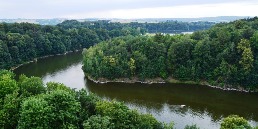 Czocha - Zamek XIVw. im weiteren niederschlesischen Umfeld von Kopaniec.
Photo: Scotch Mist via Wikimedia Commons, CC BY-SA 4.0
Historic traces in Kopaniec
A church in Kopaniec was first mentioned in 1399; the present-day Church of St Anthony was built in the early 16th century. It is a parish church and is closed. Its exterior façade features Baroque epitaphs from the 18th century commemorating the Menzel, Geyers and Hartmann families. The presbytery is covered by a star vault whose ribs are made of sandstone. On the southwestern side of the church is the mausoleum of Jan Samuel Braun, Kopaniec’s first Protestant pastor.
The J.S. Brenna burial chapel is in the cemetery in Kopaniec and should not be confused with Braun’s mausoleum at the church. A medieval ceramic kiln is located at Kopaniec 145. The village also has three historic advertising columns. Kamienne Wały is a mysterious archaeological site that requires further study. In the late 19th century, Kopaniec developed into a summer health resort that used radon-rich springs.
Viewpoints and landscape
Kozia Szyja is a viewpoint at 748 metres above sea level, rising above Kopaniec in the eastern part of the Kamienicki Grzbiet. Viewpoints are located by the meadows near Kozia Szyja and along the upper sections of the asphalt road. To the south, the view stretches across the High Ridge of the Jizera Mountains, including Wysoki Kamień and Izerskie Garby, and the Karkonosze Mountains, from Śnieżka to Szrenica. To the north, the panorama takes in the foothills of the Jizera Mountains, including the Stara Kamienica depression and Kopaniec, as well as the Kaczawskie Mountains and Jelenia Góra. This northern panorama spans almost 180 degrees and reaches more than 50 kilometres.
Above the church is the 530-metre-high Mount Popiel. From there, you can enjoy a wide view of the village, the Kamienicki Grzbiet and parts of the Karkonosze Mountains. Młyniec is a granite-gneiss rock several metres high on the northeastern slope of Popiel, on the bank of the Kamionka stream; this is where Kopaniec begins. Especially in winter, the rock offers views across the valley and the highest part of the village.
Trails through Kopaniec
A trail of about 13 kilometres runs from Zimna Przełęcz via Bobrowe Skały and Polana Czarownic through Kopaniec, then via Kozia Szyja and Jastrzębiec and past the ruins of Leopoldsbaude, ending at Rozdroże Izerskie. The blue trail from Mirsk to Świeradów-Zdrój also passes through Kopaniec. The green “Obwodnica jeleniogórska” circular trail also runs through the village and is 104 kilometres long. At 104 kilometres, the green circular trail is considerably longer than the approximately 13-kilometre route from Zimna Przełęcz to Rozdroże Izerskie. Check current trail conditions before setting out.
Landscape and protected areas
Protected natural features are also part of the landscape. The “Caspar” oak in Kopaniec is designated a natural monument. As of 30 June 2017, the Kamienickie Wzgórza landscape-nature complex was one of the four forms of protection in the Kopaniec area. This timeframe is important when considering the protection status at that time.
Discover more destinations: Sosnówka K Jeleniej Góry, Milków, Podgorzyn, Karpacz, Kowary, Bukowiec, Szklarska Poręba, Mysłakowice.
Go to the main travel overview: Jeleniogórski.

