
Cesara on Lake Orta: History, Sundial and Trails
Accommodation in Cesara
Location on Lake Orta
Cesara is situated on the western heights of the Lake Orta basin. The basin encompasses the lake and the surrounding landforms. The village is dominated by Monte Pizzo. The name Cesara is first documented in a document dating from 1204.
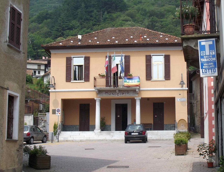
History and Parish Church
Cesara’s history follows the fortunes of the fief of the island of San Giulio. The fief was a historical arrangement of rule and ownership. In the Early Middle Ages, the fief was under Lombard rule. In the 10th century, Emperor Otto transferred the fief to the Bishop of Novara; it remained under his control until 1767. The parish church of Cesara houses the mortal remains of Apro. Apro’s mortal remains continue to be venerated by the faithful of the local community.
Grassona and the Armillary Sundial
In Grassona, a freely accessible outdoor armillary sundial stands in a park beside the municipal road running through the village, opposite Piazza San Pietro. The sundial was designed as a scientific and educational instrument to illustrate the apparent movements of the sun, the Earth’s rotation and the celestial sphere. In the sundial, the ring-shaped representation depicts the celestial sphere as part of the astronomical visualization. Its location beside the park, municipal road and Piazza San Pietro provides a clear spatial framework for orientation in Grassona.
Trails on the Western Side of the Lake
Pizzo di Cesara and Croce di Nonio are located on the western side of Lake Orta and can be reached via well-marked trails through beech and chestnut forests, whose visible trail markers indicate the route. The Pizzo di Cesara–Croce di Nonio loop route descends to Cesara along a steep ridge path. The steep ridge path runs along a mountain ridge and therefore represents a different type of terrain from a path through a forest. For personal hiking planning, the steep ridge path should be considered as a separate section. At this point, the route differs clearly from trails through beech and chestnut forests. The car park near the parish church in Cesara is used as the starting point for reaching the loop route.
Grand Tour del Lago d’Orta
The Grand Tour del Lago d’Orta offers a short detour to the scenic Croce di Egro. From there, the view stretches across Lake Orta from Omegna to the southern basin of the lake. The detour to Croce di Egro is an additional section within the longer tour. The Grand Tour del Lago d’Orta also includes trails on Monte Camosino. When planning the tour, the short detour to Croce di Egro can be considered separately from the trail area on Monte Camosino.
Other destinations: Villadossola, Baveno, Brovello-Carpugnino, Baceno, Trarego Viggiona, Feriolo Di Baveno, San Bernardino Verbano, Omegna
To the broader travel overview: Verbano-Cusio-Ossola.

